
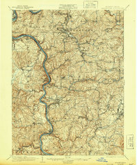
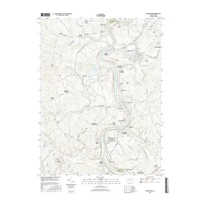
1903 Map of Masontown
USGS Topo · Published 1903About this map
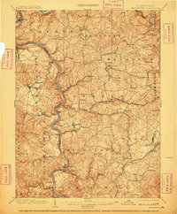
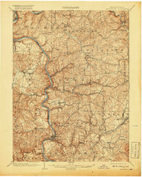
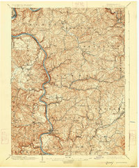
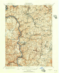
The Monongahela River carves a deep, winding valley through Fayette and Greene Counties, serving as the primary corridor for commerce and transport at the turn of the century. Along its banks, a series of infrastructure projects including Lock No 6, Lock No 7, and Lock No 8 facilitate river traffic, while numerous crossings like the Arensburg Ferry, Jacobs Ferry, and Hatfields Ferry connect isolated riverbank settlements. The presence of the Pennsylvania Railroad and the historic National Road in the northern portion of the survey highlights a landscape in transition, where old overland routes meet industrial-age rail and water systems.
Find a feature on this map
105 named features on this map. Tap any name to fly to it.
Don’t see what you’re looking for? This feature index may not catch every label — zoom into the map to look around manually.
Map Details
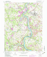
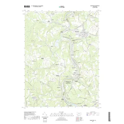
Editions of this 1903 Masontown Map
4 editions found
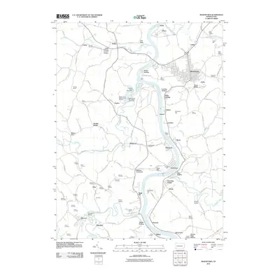
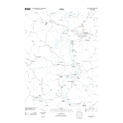
Historical Maps of Luzerne Township Through Time
10 maps found

1900 Masontown
Fayette County, PA
1903 Masontown
Fayette County, PA
1931 Masontown
Fayette County, PA
1935 Masontown
Fayette County, PA
1964 Masontown
Fayette County, PA
2010 Masontown
Fayette County, PA
2013 Masontown
Fayette County, PA
2016 Masontown
Fayette County, PA
2019 Masontown
Fayette County, PA
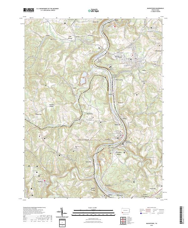
2023 Masontown
Fayette County, PA