
1900 Map of Uniontown
USGS Topo · Published 1900About this map
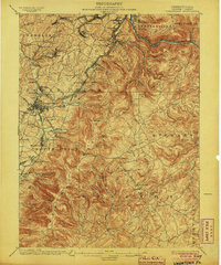
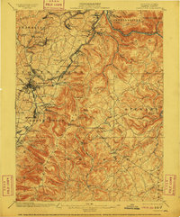
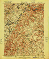
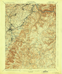
Uniontown serves as the focal point for this survey of Fayette County at the turn of the century, where the industrial expansion of the Wharton Furnace and Lemont Furnace districts meets the historical legacies of the French and Indian War. The map traces the critical corridor of the National Pike as it cuts through the ridges of Laurel Hill, passing landmarks of early American history including Fort Necessity and Braddocks Grave. The landscape is a complex network of narrow hollows and high knobs, such as Tharp Knob and Kentuck Knob, deeply etched by the transport needs of the coal and coke era.
Find a feature on this map
101 named features on this map. Tap any name to fly to it.
Don’t see what you’re looking for? This feature index may not catch every label — zoom into the map to look around manually.
Map Details
Editions of this 1900 Uniontown Map
5 editions found
Other maps of this area

1900 · Accident
USGS Topo · 1:62,500

1900 · Masontown
USGS Topo · 1:62,500

1902 · Brownsville
USGS Topo · 1:62,500

1902 · Morgantown
USGS Topo · 1:62,500

1902 · Connellsville
USGS Topo · 1:62,500

1903 · Masontown
USGS Topo · 1:62,500

1904 · Bruceton
USGS Topo · 1:62,500

1906 · Brownsville
USGS Topo · 1:62,500

1922 · Confluence
USGS Topo · 1:62,500

1922 · Donegal
USGS Topo · 1:62,500
Featured Places
- Uniontown, PA
- South Connellsville, PA
- Dunbar, PA
- Farmington, Wharton Township
- Chalkhill, Wharton Township