Loading...
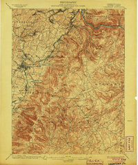
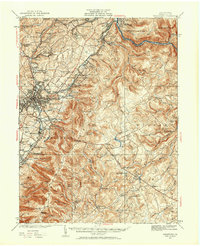
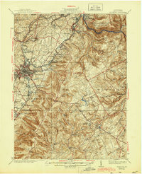
Loading map...1900 Map of Uniontown
USGS Topo · Published 1904About this map
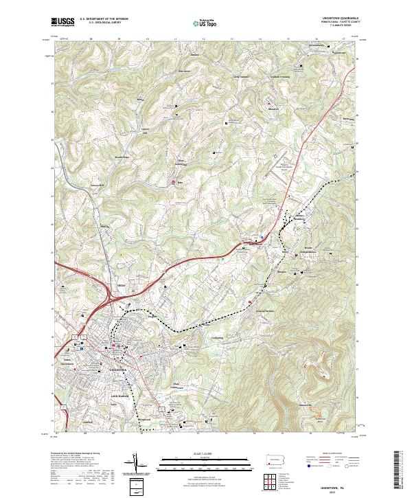
Industrial development and revolutionary frontier history meet in this 1899 survey of Fayette County. Uniontown serves as the regional hub, where the National Pike intersects a complex network of steel and coal infrastructure, including the Pennsylvania RR and the Baltimore and Ohio RR. The landscape is dotted with early industrial markers like Coke Ovens near Leisenring and the Lemont Furnace, reflecting the intense resource extraction that fueled the era's growth.
Find a feature on this map
99 named features on this map. Tap any name to fly to it.
Don’t see what you’re looking for? This feature index may not catch every label — zoom into the map to look around manually.
Map Details
Date Portrayed1900
Date Published1904
PublisherU.S. Geological Survey
Map TypeTopographic
Scale1:62,500
Physical Dimensions16.5 x 19.8 inches
Editions of this 1900 Uniontown Map
5 editions found

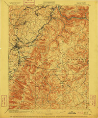
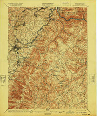
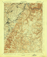
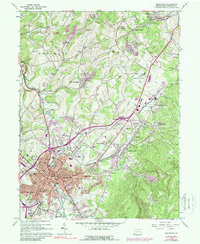
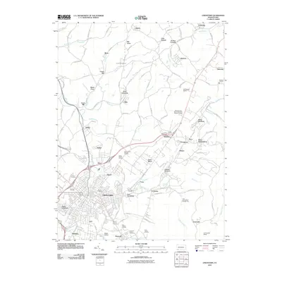
Historical Maps of Uniontown Through Time
9 maps found
Featured Locations
- Dunbar, PA
- South Connellsville, PA
- Uniontown, PA
- Chalkhill, Wharton Township
- Farmington, Wharton Township
Source Details
SourceU.S. Geological Survey
CopyrightPublic Domain