
1904 Map of Bruceton
USGS Topo · Published 1904About this map
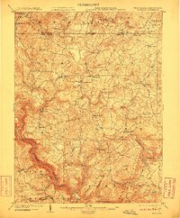
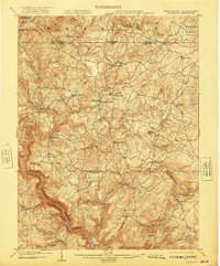
Bruceton Mills and Brandonville serve as central hubs in this early twentieth-century portrait of northern Preston County. The landscape is defined by the winding descent of the Cheat River through the southwestern corner, joined by numerous tributaries like Big Sandy Creek and Muddy Creek. The region’s rural social fabric is visible through several community landmarks, including Hopewell Church, Laurel Church, and Nebo Church, scattered among the ridges.
Find a feature on this map
64 named features on this map. Tap any name to fly to it.
Don’t see what you’re looking for? This feature index may not catch every label — zoom into the map to look around manually.
Map Details
Editions of this 1904 Bruceton Map
3 editions found
Other maps of this area

1886 · St. George
USGS Topo · 1:125,000

1891 · St. George
USGS Topo · 1:125,000

1895 · Piedmont
USGS Topo · 1:125,000

1899 · Oakland
USGS Topo · 1:62,500

1900 · Accident
USGS Topo · 1:62,500

1900 · Oakland
USGS Topo · 1:62,500

1900 · Uniontown
USGS Topo · 1:62,500

1900 · Masontown
USGS Topo · 1:62,500

1902 · Morgantown
USGS Topo · 1:62,500

1903 · Masontown
USGS Topo · 1:62,500