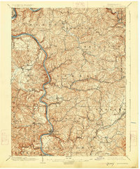
1900 Map of Masontown
USGS Topo · Published 1900About this map
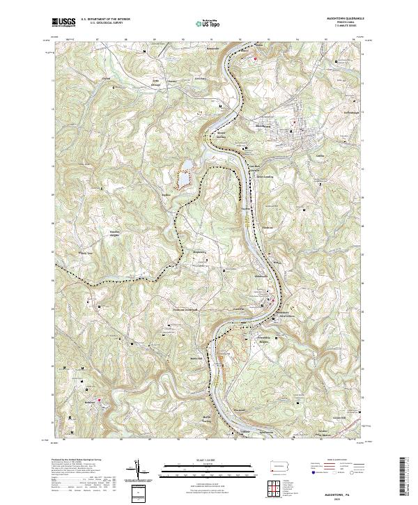
The Monongahela River carves a deep, winding path through this corner of Fayette and Greene Counties, serving as a vital industrial artery at the end of the nineteenth century. This era of river-based transit is remarkably well-documented by a series of ferries, including Arensburg Ferry, Jacobs Ferry, and Hatfields Ferry, which linked the rugged river bluffs before the proliferation of bridges. Inland, the National Pike cuts across the northern landscape near Searights and Haddenville, while the Pennsylvania RR and Baltimore and Ohio RR facilitate the movement of coal and commerce.
Find a feature on this map
110 named features on this map. Tap any name to fly to it.
Don’t see what you’re looking for? This feature index may not catch every label — zoom into the map to look around manually.
Map Details
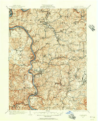
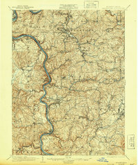
Editions of this 1900 Masontown Map
This is the sole edition of this map. No revisions or reprints were ever made.
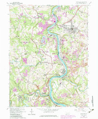
Historical Maps of Luzerne Township Through Time
6 maps found