
1904 Map of Amity
USGS Topo · Published 1904About this map
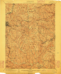
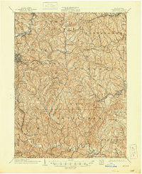
Washington stands as the primary hub of this 1904 survey, situated at a vital junction where the Baltimore and Ohio RR and Pennsylvania RR converge. This rail activity, coupled with the Pittsburg and Washington Turnpike, illustrates the region's importance as a transportation corridor at the turn of the century. The landscape is deeply dissected by drainage systems like Chartiers Creek and Tenmile Creek, creating a pattern of ridge-top settlements and valley-floor commerce.
Find a feature on this map
101 named features on this map. Tap any name to fly to it.
Don’t see what you’re looking for? This feature index may not catch every label — zoom into the map to look around manually.
Map Details
Editions of this 1904 Amity Map
6 editions found
Other maps of this area

1900 · Masontown
USGS Topo · 1:62,500

1901 · Amity
USGS Topo · 1:62,500

1901 · Waynesburg
USGS Topo · 1:62,500

1902 · Brownsville
USGS Topo · 1:62,500

1903 · Masontown
USGS Topo · 1:62,500

1904 · Mc Keesport
USGS Topo · 1:62,500

1904 · Waynesburg
USGS Topo · 1:62,500

1904 · Carnegie
USGS Topo · 1:62,500

1904 · Burgettstown
USGS Topo · 1:62,500

1905 · Rogersville
USGS Topo · 1:62,500
Featured Places
- Washington, PA
- South Strabane Township, PA
- Mount Pleasant, South Strabane Township
- McGovern, Chartiers Township
- Bentleyville, PA