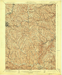
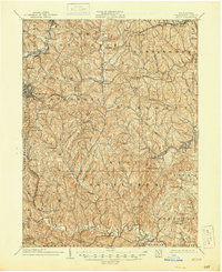
1904 Map of Amity
USGS Topo · Published 1925About this map
The National Road and the Baltimore and Ohio railroad corridor intersect at the urban hub of Washington, providing a clear look at the transit infrastructure of Washington County at the opening of the twentieth century. This survey, conducted by Robt. D. Cummin and others, illustrates a landscape defined by deeply incised stream valleys and narrow ridges. Small agricultural and mining settlements like Eightyfour, Meadowlands, and Laboratory are scattered throughout the townships of North Strabane and West Bethlehem.
Find a feature on this map
98 named features on this map. Tap any name to fly to it.
Don’t see what you’re looking for? This feature index may not catch every label — zoom into the map to look around manually.
Map Details
Editions of this 1904 Amity Map
6 editions found
Other maps of this area

1900 · Masontown
USGS Topo · 1:62,500

1901 · Amity
USGS Topo · 1:62,500

1901 · Waynesburg
USGS Topo · 1:62,500

1902 · Brownsville
USGS Topo · 1:62,500

1903 · Masontown
USGS Topo · 1:62,500

1904 · Amity
USGS Topo · 1:62,500

1904 · Mc Keesport
USGS Topo · 1:62,500

1904 · Waynesburg
USGS Topo · 1:62,500

1904 · Carnegie
USGS Topo · 1:62,500

1904 · Burgettstown
USGS Topo · 1:62,500
Featured Places
- Washington, PA
- South Strabane Township, PA
- Mount Pleasant, South Strabane Township
- McGovern, Chartiers Township
- Bentleyville, PA