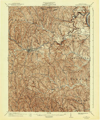
1901 Map of Waynesburg
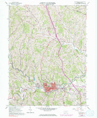
USGS Topo · Published 1958About this map
Waynesburg serves as the hub of this Southwestern Pennsylvania landscape at the turn of the century, situated at the confluence of several runs feeding the South Fork Tenmile Creek. The area is characterized by an intricate network of waterways and early hilltop and valley settlements, including the dual-named Lippincott Martinsville and Kirby Newtown. Along the eastern edge, the Monongahela River facilitates transport near Rices Landing and Clarksville, where the Greene and Washington county lines meet. Local industry and commerce are evidenced by features like Rees Mill and the scattered clusters of small farming communities connected by rural runs. This survey captures Greene County just before the widespread expansion of industrial mining, documenting a transition from traditional agrarian life to more organized township structures.
Find a feature on this map
70 named features on this map. Tap any name to fly to it.
Don’t see what you’re looking for? This feature index may not catch every label — zoom into the map to look around manually.
Map Details
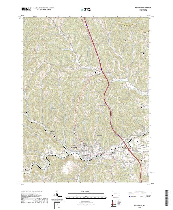
Editions of this 1901 Waynesburg Map
This is the sole edition of this map. No revisions or reprints were ever made.
Historical Maps of Luzerne Township Through Time
4 maps found