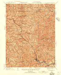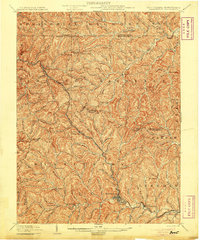
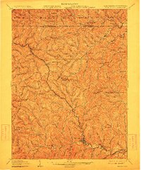
1905 Map of Mannington
USGS Topo · Published 1905About this map
Mannington serves as the primary hub of this 1905 landscape, situated at the confluence of several runs and the B. & O. R. R. line. The area is defined by a dense network of ridges and narrow valleys, where settlements like Glover Gap and Wadestown follow the contours of the land. High points such as Honsocker Knob and Efaw Knob overlook a territory deeply connected to the Pennsylvania border, with postal outposts like Brave P.O. and Downs Broomfield P.O. anchoring rural commerce. The map records a time when the region relied heavily on waterpower and rail, noted by features like Little Dunkard Mill Run and the presence of the Hundred Church. Numerous small hamlets, including Saint Cloud and Logansport, are connected by the winding State Road, illustrating the early 20th-century settlement patterns of the West Virginia-Pennsylvania borderlands.
Find a feature on this map
101 named features on this map. Tap any name to fly to it.
Don’t see what you’re looking for? This feature index may not catch every label — zoom into the map to look around manually.
Map Details
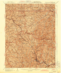
Editions of this 1905 Mannington Map
2 editions found
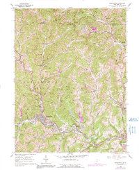
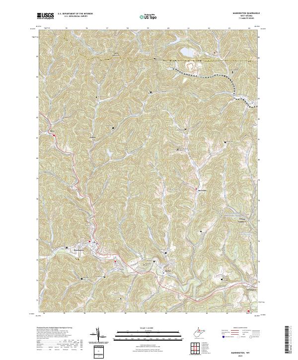
Historical Maps of Mannington Through Time
5 maps found