
1904 Map of Waynesburg
USGS Topo · Published 1904About this map
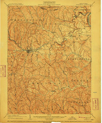
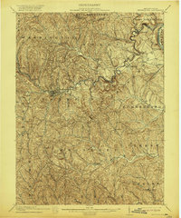
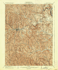
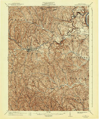
Waynesburg serves as the focal point of this 1901 survey, appearing just as the new century began. The landscape is defined by the deep valleys of the Monongahela River on the eastern edge and the winding course of Tenmile Creek, which drains much of the central territory. Small agrarian settlements and post offices are scattered throughout the hills, including Lippincott Marianna P.O. and Rices Landing.
Find a feature on this map
71 named features on this map. Tap any name to fly to it.
Don’t see what you’re looking for? This feature index may not catch every label — zoom into the map to look around manually.
Map Details
Editions of this 1904 Waynesburg Map
5 editions found
Other maps of this area

1900 · Masontown
USGS Topo · 1:62,500

1901 · Amity
USGS Topo · 1:62,500

1901 · Waynesburg
USGS Topo · 1:62,500

1902 · Brownsville
USGS Topo · 1:62,500

1902 · Morgantown
USGS Topo · 1:62,500

1903 · Masontown
USGS Topo · 1:62,500

1904 · Amity
USGS Topo · 1:62,500

1904 · Blacksville
USGS Topo · 1:62,500

1905 · Mannington
USGS Topo · 1:62,500

1905 · Rogersville
USGS Topo · 1:62,500