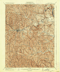
1904 Map of Waynesburg
USGS Topo · Published 1935About this map
Waynesburg serves as the focal point of this Greene County landscape, situated at the junction of Purman Run and the South Fork of Tenmile Creek. The map captures a complex network of rural hamlets and post offices at the dawn of the 20th century, ranging from Rices Landing on the Monongahela River to smaller interior crossings like Lippincott Martinsville and Kirby Newtown.
Find a feature on this map
68 named features on this map. Tap any name to fly to it.
Don’t see what you’re looking for? This feature index may not catch every label — zoom into the map to look around manually.
Map Details
Editions of this 1904 Waynesburg Map
5 editions found
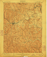
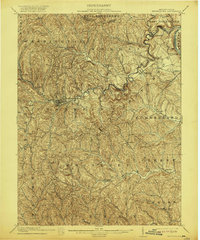
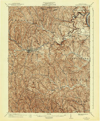
Other maps of this area

1900 · Masontown
USGS Topo · 1:62,500

1901 · Amity
USGS Topo · 1:62,500

1901 · Waynesburg
USGS Topo · 1:62,500

1902 · Brownsville
USGS Topo · 1:62,500

1902 · Morgantown
USGS Topo · 1:62,500

1903 · Masontown
USGS Topo · 1:62,500

1904 · Amity
USGS Topo · 1:62,500

1904 · Blacksville
USGS Topo · 1:62,500

1904 · Waynesburg
USGS Topo · 1:62,500

1905 · Mannington
USGS Topo · 1:62,500