Loading...
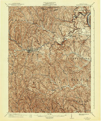
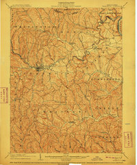
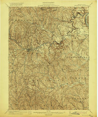
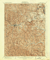
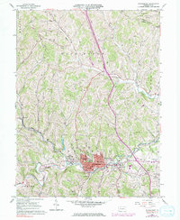
Loading map...1904 Map of Waynesburg
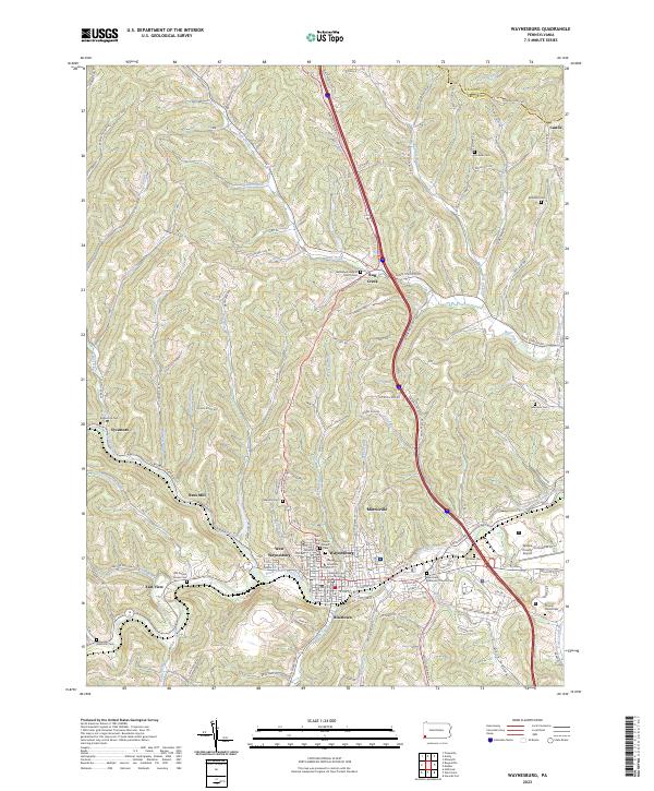
USGS Topo · Published 1943About this map
Waynesburg serves as the focal point of this 1901 survey of Greene County, reflecting a landscape defined by an intricate network of narrow valleys and ridges. The borough layout is clearly visible at the junction of Purman Run and Tenmile Creek, while the northeastern corner shows the winding Monongahela River providing a critical transportation corridor near Rices Landing and Clarksville.
Find a feature on this map
54 named features on this map. Tap any name to fly to it.
Don’t see what you’re looking for? This feature index may not catch every label — zoom into the map to look around manually.
Map Details
Date Portrayed1904
Date Published1943
PublisherU.S. Geological Survey
Map TypeTopographic
Scale1:62,500
Physical Dimensions16.5 x 19.9 inches
Editions of this 1904 Waynesburg Map
5 editions found

Historical Maps of Luzerne Township Through Time
4 maps found

Featured Locations
Source Details
SourceU.S. Geological Survey
CopyrightPublic Domain