
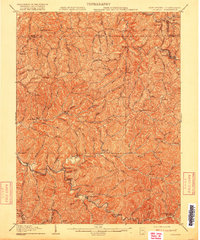
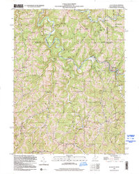
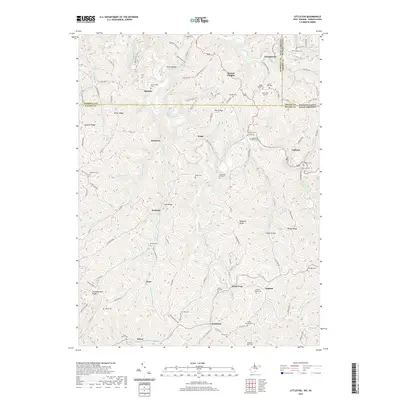
1903 Map of Littleton
USGS Topo · Published 1903About this map
Littleton serves as the primary rail hub on this 1903 survey, where the B. and O. R. R. winds through the narrow valleys of the West Virginia-Pennsylvania borderlands. This landscape is defined by an intricate network of deep hollows and high ridges, such as Johnson Ridge and Miller Ridge, which dictated the settlement patterns of the era. Small rural communities like Wileyville, Halls Mills, and Burchfield are tucked into the valley floors near waterways like Fishing Creek and the North Fork. The map records a pre-industrial rural economy, evidenced by the numerous named runs and the absence of large-scale development outside the immediate vicinity of the railroad. For genealogists, the map is a precise record of late 19th-century hamlets, including Saint Joseph, Millsboro, and Silver Hill, many of which were centered around local post offices or small mills before the expansion of modern road systems transformed the region.
Find a feature on this map
117 named features on this map. Tap any name to fly to it.
Don’t see what you’re looking for? This feature index may not catch every label — zoom into the map to look around manually.
Map Details
Editions of this 1903 Littleton Map
This is the sole edition of this map. No revisions or reprints were ever made.
Historical Maps of Pine Grove Through Time
11 maps found
1903 Littleton
Wetzel County, WV
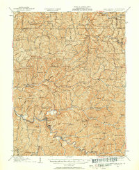
1905 Littleton
Wetzel County, WV
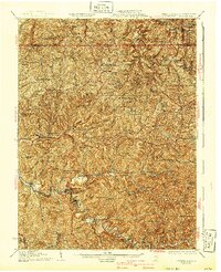
1924 Littleton
Wetzel County, WV
1926 Littleton
Wetzel County, WV
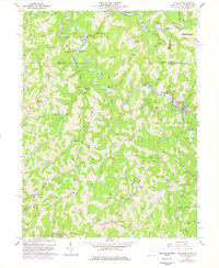
1960 Littleton
Wetzel County, WV
1998 Littleton
Wetzel County, WV
2011 Littleton
Wetzel County, WV
2014 Littleton
Wetzel County, WV
2016 Littleton
Wetzel County, WV
2019 Littleton
Wetzel County, WV
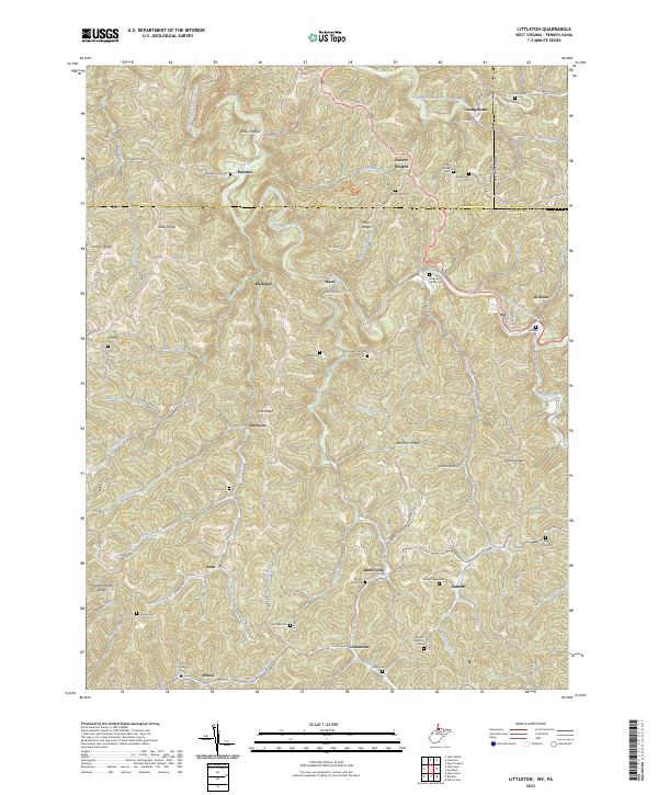
2023 Littleton
Wetzel County, WV