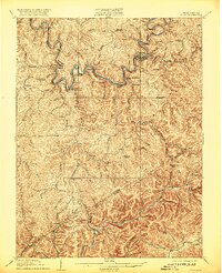
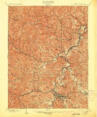
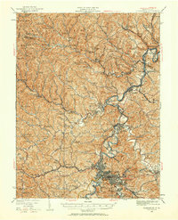
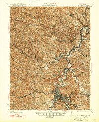
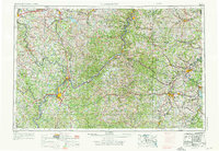
1910 Map of Clarksburg
USGS Topo · Published 1920About this map
Elk River defines the topography of this central West Virginia landscape, winding through a steep network of ridges and narrow hollows. The river corridor serves as the primary artery for industry and transit, hosting the Coal and Coke railroad and a string of riverside settlements including Dundon, Dorfee, and Eilkhurst. The presence of the Clay Courthouse Station and Clay PO indicates the region's civic importance, while several rural post offices like Yankee Dam PO and Angeline PO highlight the scattered nature of early 20th-century commerce in the Appalachian hills.
Find a feature on this map
88 named features on this map. Tap any name to fly to it.
Don’t see what you’re looking for? This feature index may not catch every label — zoom into the map to look around manually.
Map Details
Editions of this 1910 Clarksburg Map
This is the sole edition of this map. No revisions or reprints were ever made.
Historical Maps of Clarksburg Through Time
12 maps found
1902 Clarksburg
Harrison County, WV
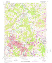
1910 Clarksburg
Harrison County, WV
1923 Clarksburg
Harrison County, WV
1925 Clarksburg
Harrison County, WV

1949 Clarksburg
Harrison County, WV
1956 Clarksburg
Harrison County, WV
1958 Clarksburg
Harrison County, WV

1961 Clarksburg
Harrison County, WV

1982 Clarksburg
Harrison County, WV

1988 Clarksburg
Harrison County, WV
1996 Clarksburg
Harrison County, WV
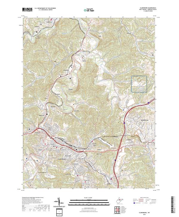
2023 Clarksburg
Harrison County, WV