
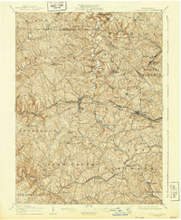
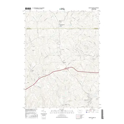
1904 Map of Burgettstown
USGS Topo · Published 1958About this map
The rolling industrial landscape of Washington County at the beginning of the twentieth century is defined by its deep creek valleys and emerging rail corridors. Burgettstown serves as a central hub where the Pittsburgh Chicago and St Louis RR follows the winding path of Raccoon Creek. The resource-driven economy of the era is evident in the presence of the Francis Mine and Shaw Mine, alongside infrastructure like the Mc Donald Waterworks.
Find a feature on this map
77 named features on this map. Tap any name to fly to it.
Don’t see what you’re looking for? This feature index may not catch every label — zoom into the map to look around manually.
Map Details
Editions of this 1904 Burgettstown Map
This is the sole edition of this map. No revisions or reprints were ever made.
Historical Maps of Cecil Township Through Time
8 maps found
1904 Burgettstown
Washington County, PA
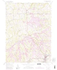
1906 Burgettstown
Washington County, PA
1954 Burgettstown
Washington County, PA
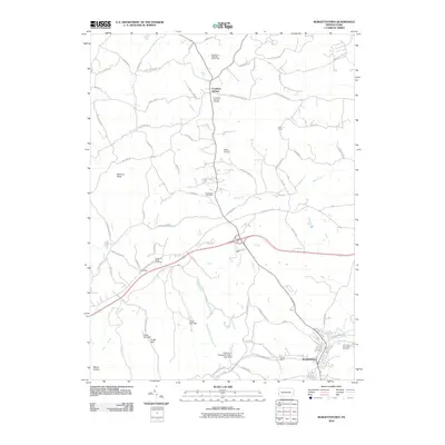
2010 Burgettstown
Washington County, PA
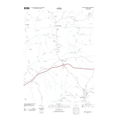
2013 Burgettstown
Washington County, PA
2016 Burgettstown
Washington County, PA
2019 Burgettstown
Washington County, PA
2023 Burgettstown
Washington County, PA
Featured Locations
- Cecil Township, PA
- Independence Township, PA
- Robinson Township, PA
- Cross Creek Township, PA
- Independence Township, PA