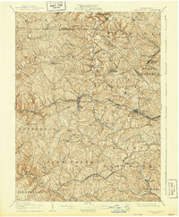
1906 Map of Burgettstown
USGS Topo · Published 1944About this map
Burgettstown serves as a central hub in this western Pennsylvania landscape, where early 20th-century coal mining and rail infrastructure intersect with established farming communities. The industrial character of the era is evidenced by the Francis Mine and Shaw Mine, while the winding path of Raccoon Creek and Cross Creek dictate the layout of the hollows and ridge-top roads. Notable transport arteries like the Pittsburgh Cincinnati Chicago and St Louis RR and the Wabash Pittsburgh Terminal Ry cut through the hills, facilitating the movement of coal from local tipples to regional markets.
Find a feature on this map
66 named features on this map. Tap any name to fly to it.
Don’t see what you’re looking for? This feature index may not catch every label — zoom into the map to look around manually.
Map Details
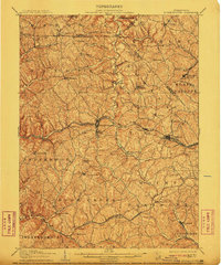
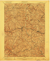
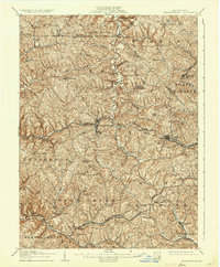
Editions of this 1906 Burgettstown Map
5 editions found
Other maps of this area

1901 · Amity
USGS Topo · 1:62,500

1901 · Beaver
USGS Topo · 1:62,500

1902 · Wheeling
USGS Topo · 1:62,500

1904 · Amity
USGS Topo · 1:62,500

1904 · Wellsville
USGS Topo · 1:62,500

1904 · Steubenville
USGS Topo · 1:62,500

1904 · Beaver
USGS Topo · 1:62,500

1904 · Carnegie
USGS Topo · 1:62,500

1904 · Burgettstown
USGS Topo · 1:62,500

1906 · Burgettstown
USGS Topo · 1:62,500
Featured Places
- Cecil Township, PA
- Independence Township, PA
- Robinson Township, PA
- Cross Creek Township, PA
- Independence Township, PA