
1904 Map of Steubenville
USGS Topo · Published 1904About this map
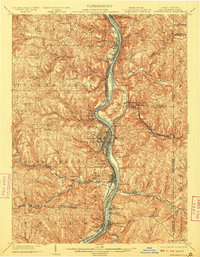
The Ohio River serves as the industrial and geographic spine of this tri-state border region, dividing the heavy manufacturing centers of Ohio from the panhandle of West Virginia. At the center of the sheet, Steubenville is a hub of activity, surrounded by expanding residential districts like La Belle View and Pleasant Heights. The riverfront is a dense corridor of infrastructure, featuring the Cleveland and Pittsburg R. R. and numerous crossings including Middle Ferry and Lower Ferry.
Find a feature on this map
90 named features on this map. Tap any name to fly to it.
Don’t see what you’re looking for? This feature index may not catch every label — zoom into the map to look around manually.
Map Details
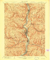
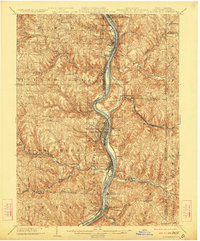
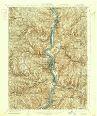
Editions of this 1904 Steubenville Map
5 editions found
Other maps of this area

1901 · Cadiz
USGS Topo · 1:62,500

1901 · Beaver
USGS Topo · 1:62,500

1902 · Wheeling
USGS Topo · 1:62,500

1903 · Cadiz
USGS Topo · 1:62,500

1904 · Wellsville
USGS Topo · 1:62,500

1904 · Beaver
USGS Topo · 1:62,500

1904 · Burgettstown
USGS Topo · 1:62,500

1905 · St. Clairsville
USGS Topo · 1:62,500

1905 · Salineville
USGS Topo · 1:62,500

1906 · Burgettstown
USGS Topo · 1:62,500