
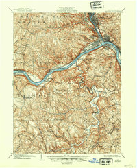
1904 Map of Beaver
USGS Topo · Published 1904About this map
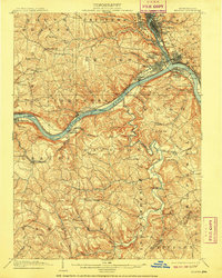
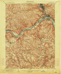
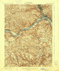
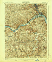
The confluence of the Beaver River and the Ohio River anchors this 1901 survey, revealing an industrial landscape defined by river navigation and rail transport. Steep-walled valleys host a dense cluster of river towns, from the established county seat at Beaver to the manufacturing centers of Beaver Falls, Rochester, and Monaca. Significant engineering of the era is evident at Dam No. 5 and Dam No. 6, which regulated the Ohio for heavy barge traffic.
Find a feature on this map
87 named features on this map. Tap any name to fly to it.
Don’t see what you’re looking for? This feature index may not catch every label — zoom into the map to look around manually.
Map Details
Editions of this 1904 Beaver Map
6 editions found
Other maps of this area

1901 · Beaver
USGS Topo · 1:62,500

1902 · New Castle
USGS Topo · 1:62,500

1904 · Newcastle
USGS Topo · 1:62,500

1904 · Wellsville
USGS Topo · 1:62,500

1904 · Steubenville
USGS Topo · 1:62,500

1904 · Carnegie
USGS Topo · 1:62,500

1904 · Burgettstown
USGS Topo · 1:62,500

1906 · Burgettstown
USGS Topo · 1:62,500

1906 · Carnegie
USGS Topo · 1:62,500

1906 · Sewickley
USGS Topo · 1:62,500