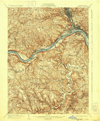
1904 Map of Beaver
USGS Topo · Published 1930About this map
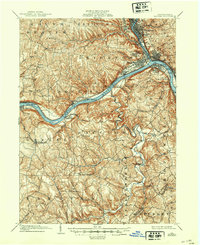
The confluence of the Beaver River and the Ohio River serves as the industrial and transit anchor of this western Pennsylvania region at the opening of the 20th century. Established river towns like Beaver, Rochester, and New Brighton line the banks, showing the dense street grids of early riverfront development. Heavy rail infrastructure defines the landscape, with the Pittsburgh and Lake Erie RR and the Pennsylvania RR following the river valleys to connect these manufacturing hubs. Beyond the urban centers of Beaver Falls and Monaca, the topography rises into dissected plateaus marked by smaller landings and rural settlements such as Bellowsville and Smiths Ferry. The river itself is managed by early navigational infrastructure, including Dam No. 5 and Dam No. 6, which regulated water levels for the heavy commercial traffic essential to the local economy.
Find a feature on this map
79 named features on this map. Tap any name to fly to it.
Don’t see what you’re looking for? This feature index may not catch every label — zoom into the map to look around manually.
Map Details
Editions of this 1904 Beaver Map
6 editions found
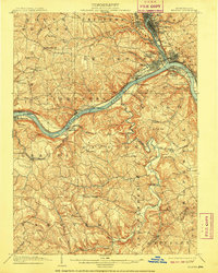
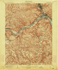
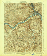
Other maps of this area

1901 · Beaver
USGS Topo · 1:62,500

1902 · New Castle
USGS Topo · 1:62,500

1904 · Newcastle
USGS Topo · 1:62,500

1904 · Wellsville
USGS Topo · 1:62,500

1904 · Steubenville
USGS Topo · 1:62,500

1904 · Beaver
USGS Topo · 1:62,500

1904 · Carnegie
USGS Topo · 1:62,500

1904 · Burgettstown
USGS Topo · 1:62,500

1906 · Burgettstown
USGS Topo · 1:62,500

1906 · Carnegie
USGS Topo · 1:62,500