
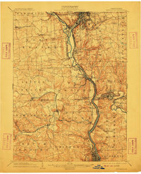
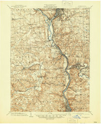
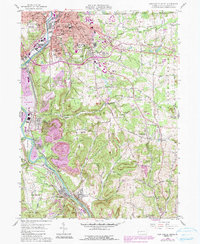
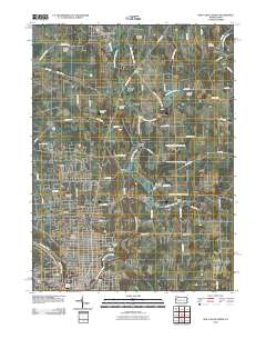
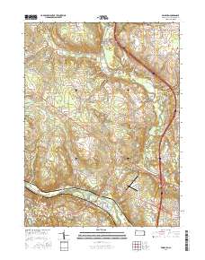
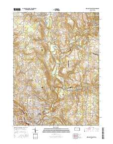
1904 Map of Newcastle
USGS Topo · Published 1904About this map
Industrial growth along the Shenango River and Mahoning River is the central theme of this 1904 survey. The confluence at Mahoningtown serves as a critical junction for the Pittsburg and Lake Erie RR and branches of the Pennsylvania System, illustrating how rail connectivity drove the development of the region's manufacturing and extraction centers. To the south, the Beaver River corridor links established towns like Wampum and Ellwood City, where the landscape is etched with complex topography and small creek valleys.
Find a feature on this map
81 named features on this map. Tap any name to fly to it.
Don’t see what you’re looking for? This feature index may not catch every label — zoom into the map to look around manually.
Map Details
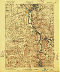
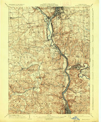
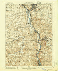
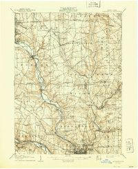
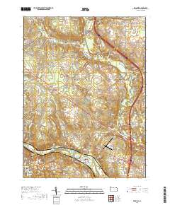
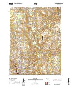
Editions of this 1904 Newcastle Map
6 editions found
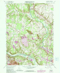
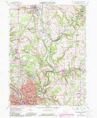
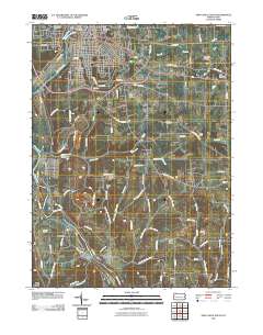
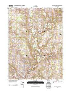
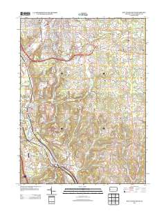
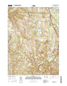
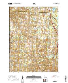
Historical Maps of New Castle Through Time
26 maps found

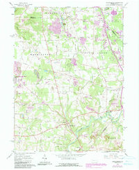
1905 Neshannock
Lawrence County, PA
1907 Neshannock
Lawrence County, PA
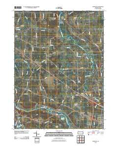
1958 Edinburg
Lawrence County, PA
1958 New Castle North
Lawrence County, PA
1958 New Castle South
Lawrence County, PA
1961 Harlansburg
Lawrence County, PA
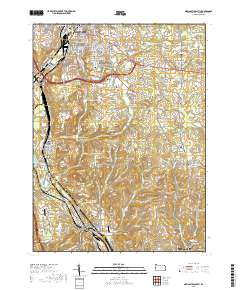
2010 Edinburg
Lawrence County, PA
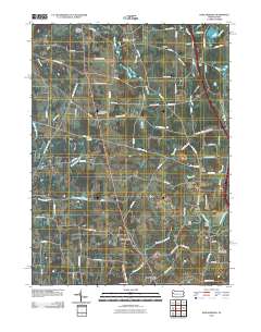
2010 Harlansburg
Lawrence County, PA
2010 New Castle North
Lawrence County, PA
2010 New Castle South
Lawrence County, PA
2013 Edinburg
Lawrence County, PA
2013 Harlansburg
Lawrence County, PA
2013 New Castle North
Lawrence County, PA
2013 New Castle South
Lawrence County, PA
2016 Edinburg
Lawrence County, PA
2016 Harlansburg
Lawrence County, PA
2016 New Castle North
Lawrence County, PA

2016 New Castle South
Lawrence County, PA
2019 Edinburg
Lawrence County, PA
2019 Harlansburg
Lawrence County, PA
2019 New Castle North
Lawrence County, PA
2019 New Castle South
Lawrence County, PA
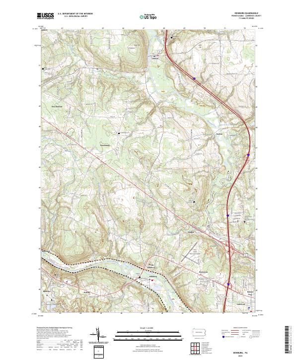
2023 Edinburg
Lawrence County, PA
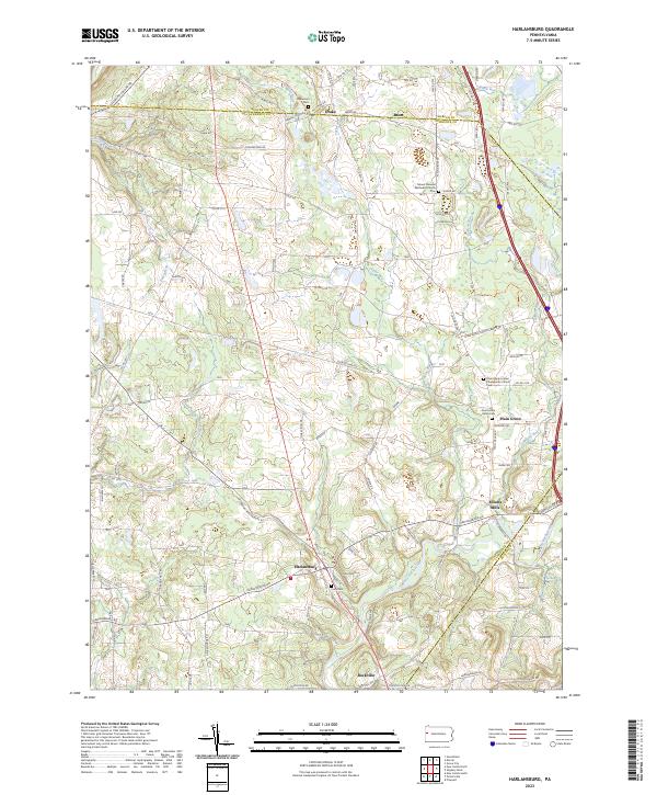
2023 Harlansburg
Lawrence County, PA
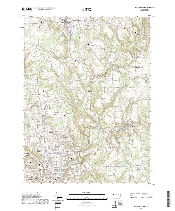
2023 New Castle North
Lawrence County, PA
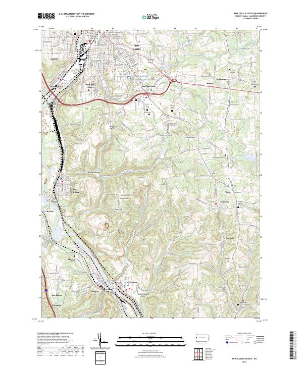
2023 New Castle South
Lawrence County, PA