
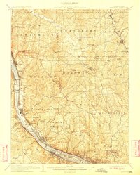
1908 Map of Sewickley
USGS Topo · Published 1908About this map
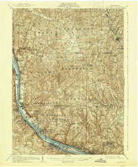
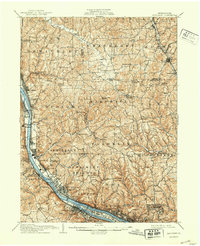
The Ohio River corridor north of Pittsburgh serves as the industrial and transit artery for this 1908-era landscape, where the Pennsylvania System railroad tracks hug the riverbanks through a series of mill towns and residential boroughs. From Sewickley down to Emsworth and Avalon, the map detail reveals the dense development of the river valley contrasted with the agricultural uplands. Notable institutions like Mt.Gallitzin Academy and the Campmeeting Grounds near Sewickley Heights School highlight the social fabric of the period.
Find a feature on this map
121 named features on this map. Tap any name to fly to it.
Don’t see what you’re looking for? This feature index may not catch every label — zoom into the map to look around manually.
Map Details
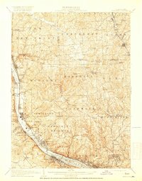
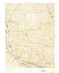
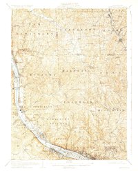
Editions of this 1908 Sewickley Map
7 editions found
Other maps of this area

1901 · Beaver
USGS Topo · 1:62,500

1902 · New Castle
USGS Topo · 1:62,500

1904 · Newcastle
USGS Topo · 1:62,500

1904 · Mc Keesport
USGS Topo · 1:62,500

1904 · Beaver
USGS Topo · 1:62,500

1904 · Carnegie
USGS Topo · 1:62,500

1904 · Burgettstown
USGS Topo · 1:62,500

1906 · Burgettstown
USGS Topo · 1:62,500

1906 · Carnegie
USGS Topo · 1:62,500

1906 · Sewickley
USGS Topo · 1:62,500