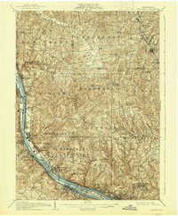
1908 Map of Sewickley
USGS Topo · Published 1938About this map
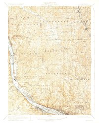
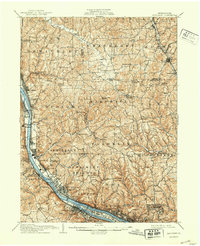
The Ohio River corridor serves as the industrial and transportation backbone of this region northwest of Pittsburgh, where the heavy infrastructure of the early 20th century follows the river's winding path. Major rail lines like the Pittsburgh and Lake Erie RR and the Pittsburgh Fort Wayne and Chicago RR flank the water, connecting established river towns such as Sewickley and Aliquippa. The map reveals the early footprint of Ambridge and the unique layout of Economy, established earlier by the Harmony Society.
Find a feature on this map
109 named features on this map. Tap any name to fly to it.
Don’t see what you’re looking for? This feature index may not catch every label — zoom into the map to look around manually.
Map Details
Editions of this 1908 Sewickley Map
7 editions found

Other maps of this area

1901 · Beaver
USGS Topo · 1:62,500

1902 · New Castle
USGS Topo · 1:62,500

1904 · Newcastle
USGS Topo · 1:62,500

1904 · Mc Keesport
USGS Topo · 1:62,500

1904 · Beaver
USGS Topo · 1:62,500

1904 · Carnegie
USGS Topo · 1:62,500

1904 · Burgettstown
USGS Topo · 1:62,500

1906 · Burgettstown
USGS Topo · 1:62,500

1906 · Carnegie
USGS Topo · 1:62,500

1906 · Sewickley
USGS Topo · 1:62,500