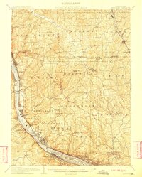
1908 Map of Sewickley
USGS Topo · Published 1911About this map
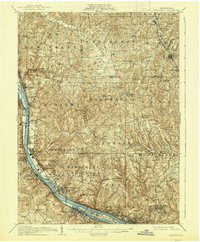
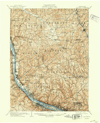
The Ohio River corridor serves as the industrial and transportation spine of this early twentieth-century landscape, where river landings like Ethel Landing and rail hubs define the valley's character. Intensive transit is evident along the Pittsburgh and Lake Erie RR, while the Butler El. RR cuts through the northeast corner near Mars. Away from the river, the terrain rises toward Big Knob, revealing a network of rural settlements and institutions that supported farming and industrial workers alike. Significant religious and educational sites are scattered throughout the hills, including the Rehoboth Church, Mt Gallitzin Academy, and the Campmeeting Grounds near Leetsdale. Local industry is represented by the Parks Quarries near Freedom, while the Nedsky Pump Station in McCandless highlights the era's developing infrastructure. This survey captures a moment when the rural ridges of Sewickley Heights and Economy were still punctuated by numerous one-room schools like Boggs School and McCord School.
Find a feature on this map
117 named features on this map. Tap any name to fly to it.
Don’t see what you’re looking for? This feature index may not catch every label — zoom into the map to look around manually.
Map Details
Editions of this 1908 Sewickley Map
7 editions found

Other maps of this area

1901 · Beaver
USGS Topo · 1:62,500

1902 · New Castle
USGS Topo · 1:62,500

1904 · Newcastle
USGS Topo · 1:62,500

1904 · Mc Keesport
USGS Topo · 1:62,500

1904 · Beaver
USGS Topo · 1:62,500

1904 · Carnegie
USGS Topo · 1:62,500

1904 · Burgettstown
USGS Topo · 1:62,500

1906 · Burgettstown
USGS Topo · 1:62,500

1906 · Carnegie
USGS Topo · 1:62,500

1906 · Sewickley
USGS Topo · 1:62,500