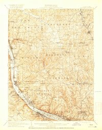
1908 Map of Sewickley
USGS Topo · Published 1919About this map
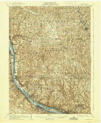
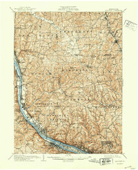
Industrial activity and established riverfront communities define the Ohio River corridor at the start of the twentieth century. Along the eastern bank, the concentrated development of Sewickley and Ambridge contrasts with the industrial footprint of Aliquippa and Woodlawn on the opposite shore. The Pittsburgh and Lake Erie RR and Pennsylvania System tracks hug the river, serving as the primary arteries for this burgeoning manufacturing district.
Find a feature on this map
123 named features on this map. Tap any name to fly to it.
Don’t see what you’re looking for? This feature index may not catch every label — zoom into the map to look around manually.
Map Details
Editions of this 1908 Sewickley Map
7 editions found

Other maps of this area

1901 · Beaver
USGS Topo · 1:62,500

1902 · New Castle
USGS Topo · 1:62,500

1904 · Newcastle
USGS Topo · 1:62,500

1904 · Mc Keesport
USGS Topo · 1:62,500

1904 · Beaver
USGS Topo · 1:62,500

1904 · Carnegie
USGS Topo · 1:62,500

1904 · Burgettstown
USGS Topo · 1:62,500

1906 · Burgettstown
USGS Topo · 1:62,500

1906 · Carnegie
USGS Topo · 1:62,500

1906 · Sewickley
USGS Topo · 1:62,500