
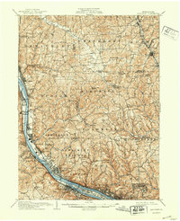
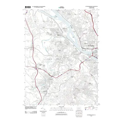
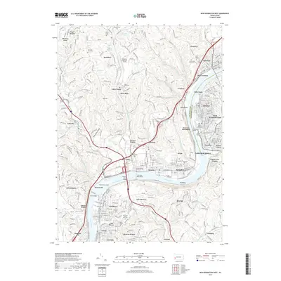
1906 Map of Sewickley
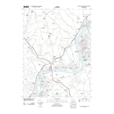
USGS Topo · Published 1960About this map
The Ohio River corridor serves as the industrial and transportation spine of this region northwest of Pittsburgh at the opening of the twentieth century. Dense rail networks, including the Pittsburgh Fort Wayne and Chicago RR and the Pittsburgh and Lake Erie RR, trace the riverbanks, connecting a string of established river towns like Economy, Ambridge, and Sewickley. This era marks the height of the river-and-rail economy, evident in specialized features such as Dam No 4 and the Montour Junc.
Find a feature on this map
127 named features on this map. Tap any name to fly to it.
Don’t see what you’re looking for? This feature index may not catch every label — zoom into the map to look around manually.
Map Details
Editions of this 1906 Sewickley Map
This is the sole edition of this map. No revisions or reprints were ever made.
Historical Maps of Pittsburgh Through Time
34 maps found
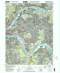
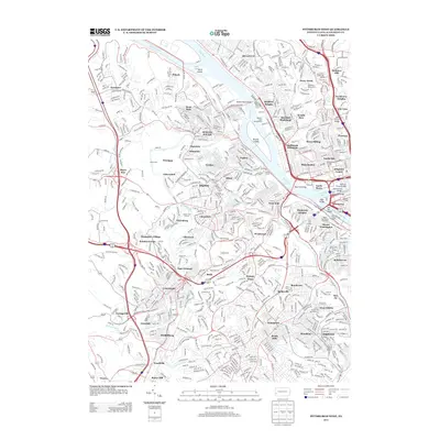
1906 Sewickley
Allegheny County, PA
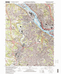
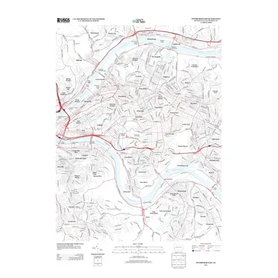
1908 Sewickley
Allegheny County, PA

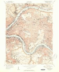
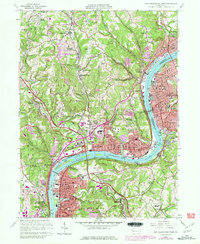
1948 Pittsburgh West
Allegheny County, PA
1951 Pittsburgh East
Allegheny County, PA
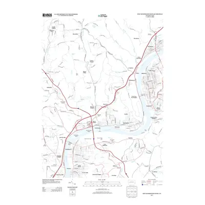
1951 Pittsburg West
Allegheny County, PA

1953 Mc Keesport
Allegheny County, PA

1953 New Kensington West
Allegheny County, PA

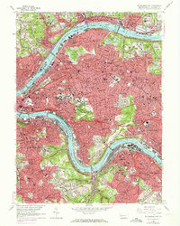
1956 Pittsburgh East
Allegheny County, PA

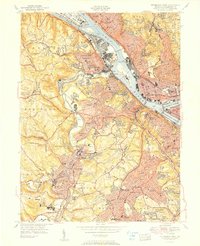
1956 Pittsburgh West
Allegheny County, PA
1960 Mc Keesport
Allegheny County, PA
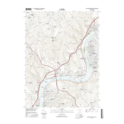
1960 New Kensington West
Allegheny County, PA
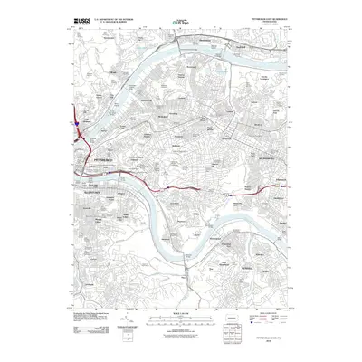
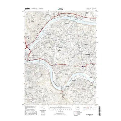
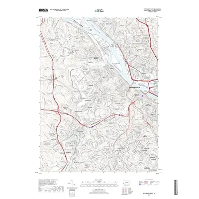
1960 Pittsburgh East
Allegheny County, PA
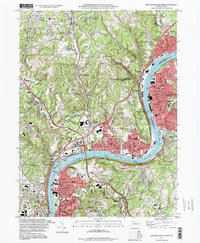
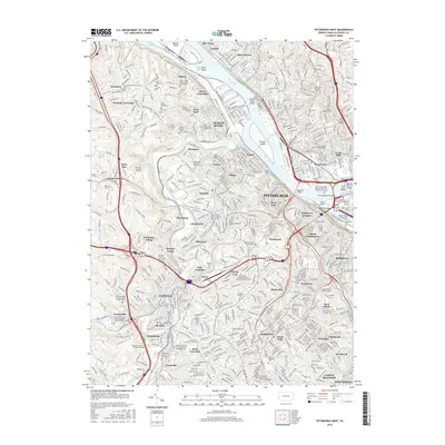
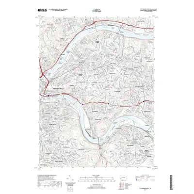
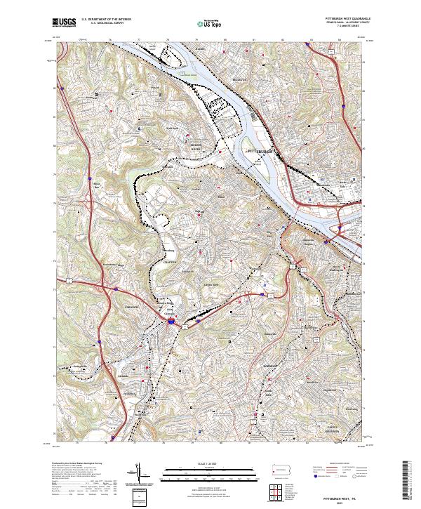
1960 Pittsburgh West
Allegheny County, PA

1993 Mc Keesport
Allegheny County, PA
1993 New Kensington West
Allegheny County, PA

1993 Pittsburgh East
Allegheny County, PA

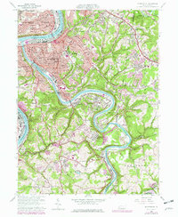
1993 Pittsburgh West
Allegheny County, PA
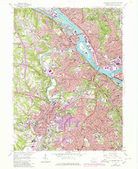
1997 Pittsburgh East
Allegheny County, PA
1997 Pittsburgh West
Allegheny County, PA
2010 New Kensington West
Allegheny County, PA
2010 Pittsburgh East
Allegheny County, PA
2010 Pittsburgh West
Allegheny County, PA
2013 New Kensington West
Allegheny County, PA
2013 Pittsburgh East
Allegheny County, PA
2013 Pittsburgh West
Allegheny County, PA
2016 New Kensington West
Allegheny County, PA
2016 Pittsburgh East
Allegheny County, PA
2016 Pittsburgh West
Allegheny County, PA
2019 New Kensington West
Allegheny County, PA
2019 Pittsburgh East
Allegheny County, PA
2019 Pittsburgh West
Allegheny County, PA
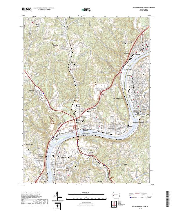
2023 New Kensington West
Allegheny County, PA
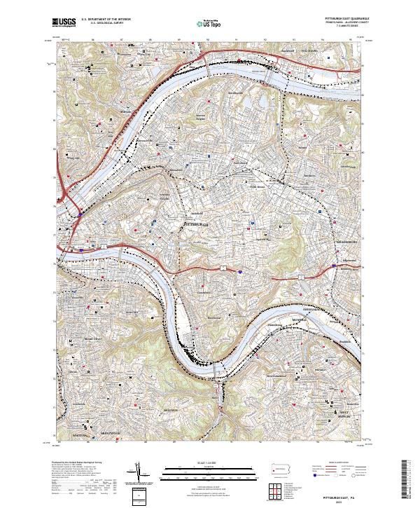
2023 Pittsburgh East
Allegheny County, PA
2023 Pittsburgh West
Allegheny County, PA