
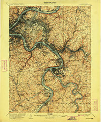
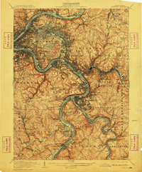
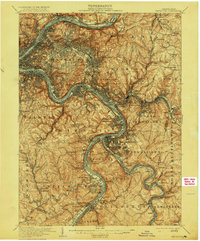
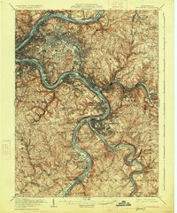
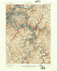
1907 Map of Pittsburg
USGS Topo · Published 1907About this map
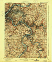
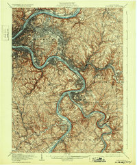
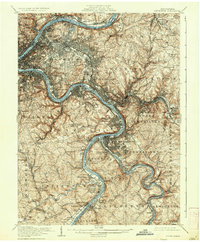
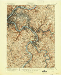
The Monongahela River and Allegheny River converge to form the industrial heart of Pittsburg in this early twentieth-century survey. The landscape is defined by a dense network of rail lines including the Pennsylvania RR and the Baltimore and Ohio RR, which trace the riverbanks through steel towns like Homestead, Braddock, and Bessemer. The rugged topography outside the river valleys shows the rapid expansion of early suburbs such as Wilkinsburg, Edgewood, and Swissvale, while the city core is anchored by Schenley Park and Highland Park. Genealogists will find significant detail in the placement of large burial grounds like Homewood Cem and Oakland Cem. The map captures the region when river traffic was managed by structures like Lock No 3 and transit still relied on crossings like Sixmile Ferry.
Find a feature on this map
174 named features on this map. Tap any name to fly to it.
Don’t see what you’re looking for? This feature index may not catch every label — zoom into the map to look around manually.
Map Details
Editions of this 1907 Pittsburg Map
10 editions found
Other maps of this area

1901 · Amity
USGS Topo · 1:62,500

1902 · Brownsville
USGS Topo · 1:62,500

1902 · Connellsville
USGS Topo · 1:62,500

1904 · Amity
USGS Topo · 1:62,500

1904 · Mc Keesport
USGS Topo · 1:62,500

1904 · Carnegie
USGS Topo · 1:62,500

1904 · Greensburg
USGS Topo · 1:62,500

1906 · Brownsville
USGS Topo · 1:62,500

1906 · Carnegie
USGS Topo · 1:62,500

1906 · Greensburg
USGS Topo · 1:62,500