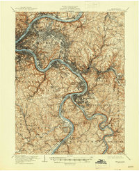
1907 Map of Pittsburgh
USGS Topo · Published 1946About this map
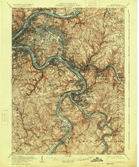
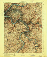
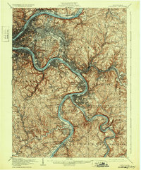
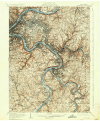
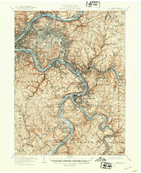
The confluence of the Ohio River, Allegheny River, and Monongahela River forms the industrial and geographic heart of this early 20th-century landscape. The map reveals the intense density of the steel industry and rail infrastructure at its peak, with the Pennsylvania RR and several specialized lines like the Union RR serving the heavy works in Braddock, Homestead, and Duquesne. Beyond the urban core of Pittsburgh, the terrain transitions into the steep hills of Mifflin and Jefferson, where the settlement pattern follows narrow creek valleys such as Peters Creek and Lick Run.
Find a feature on this map
139 named features on this map. Tap any name to fly to it.
Don’t see what you’re looking for? This feature index may not catch every label — zoom into the map to look around manually.
Map Details
Editions of this 1907 Pittsburgh Map
10 editions found

Other maps of this area

1901 · Amity
USGS Topo · 1:62,500

1902 · Brownsville
USGS Topo · 1:62,500

1902 · Connellsville
USGS Topo · 1:62,500

1904 · Amity
USGS Topo · 1:62,500

1904 · Mc Keesport
USGS Topo · 1:62,500

1904 · Carnegie
USGS Topo · 1:62,500

1904 · Greensburg
USGS Topo · 1:62,500

1906 · Brownsville
USGS Topo · 1:62,500

1906 · Carnegie
USGS Topo · 1:62,500

1906 · Greensburg
USGS Topo · 1:62,500