
1906 Map of Greensburg
USGS Topo · Published 1906About this map
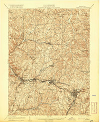
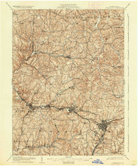
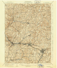
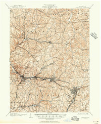
Murrysville and Export serve as focal points for this Westmoreland County region, where the industrial expansion of the early twentieth century is clearly visible through a dense network of transit lines. The Pennsylvania RR and its Pittsburg Div connect heavy manufacturing hubs like Jeannette and Irwin to the surrounding hills. This survey captures the landscape just as the West Penn Electric line was integrating smaller communities into a larger regional grid, while older turnpikes like the Philadelphia Pike still defined the overland routes between townships.
Find a feature on this map
96 named features on this map. Tap any name to fly to it.
Don’t see what you’re looking for? This feature index may not catch every label — zoom into the map to look around manually.
Map Details
Editions of this 1906 Greensburg Map
6 editions found

Other maps of this area

1900 · Latrobe
USGS Topo · 1:62,500

1902 · Latrobe
USGS Topo · 1:62,500

1902 · Brownsville
USGS Topo · 1:62,500

1902 · Connellsville
USGS Topo · 1:62,500

1902 · Elders Ridge
USGS Topo · 1:62,500

1903 · Latrobe
USGS Topo · 1:62,500

1904 · Elders Ridge
USGS Topo · 1:62,500

1904 · Mc Keesport
USGS Topo · 1:62,500

1904 · Greensburg
USGS Topo · 1:62,500

1906 · Brownsville
USGS Topo · 1:62,500