
1906 Map of Greensburg
USGS Topo · Published 1929About this map
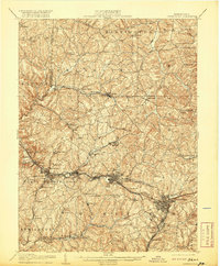
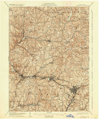
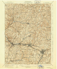
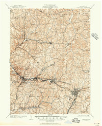
Westmoreland County transitions from its early agricultural roots into a bustling industrial corridor along the Pennsylvania RR in the first decade of the 1900s. The landscape is defined by the winding course of Turtle Creek and Brush Creek, where coal and rail interests began concentrating population in towns like Irwin, Manor, and Greensburg. Farther north, the terrain remains more dispersed, dotted with landmarks like Plum Creek Church and the Hollow Schoolhouse that served rural families before the intensive development of the mid-century. The map captures the significant role of early transportation, showing the Philadelphia Pike and the Westmoreland County Railway (Electric) connecting these mining and manufacturing hubs. This network of rails and pikes facilitated the rapid growth of places like Export and Harrison City, while the presence of the County Home reflects the social infrastructure of the era.
Find a feature on this map
79 named features on this map. Tap any name to fly to it.
Don’t see what you’re looking for? This feature index may not catch every label — zoom into the map to look around manually.
Map Details
Editions of this 1906 Greensburg Map
6 editions found

Other maps of this area

1900 · Latrobe
USGS Topo · 1:62,500

1902 · Latrobe
USGS Topo · 1:62,500

1902 · Brownsville
USGS Topo · 1:62,500

1902 · Connellsville
USGS Topo · 1:62,500

1902 · Elders Ridge
USGS Topo · 1:62,500

1903 · Latrobe
USGS Topo · 1:62,500

1904 · Elders Ridge
USGS Topo · 1:62,500

1904 · Mc Keesport
USGS Topo · 1:62,500

1904 · Greensburg
USGS Topo · 1:62,500

1906 · Brownsville
USGS Topo · 1:62,500