
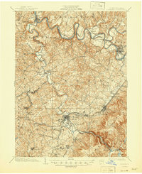
1902 Map of Latrobe
USGS Topo · Published 1902About this map
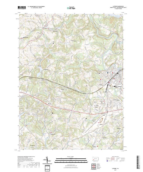
Latrobe and the surrounding industrial landscape of Westmoreland County are defined here by a dense network of coal operations and early transportation corridors. The prevalence of Coke Ovens across the southern portion of the sheet reflects the regional dominance of the H.C. Frick Coke Co., which collaborated on the survey. Significant religious and educational landmarks, such as the St Vincent Monastery and the St Vincent and St Xavier churches, stand near the junctions of the Pennsylvania Railroad and the Ligonier Valley Railroad. Moving north, the Conemaugh River meanders through the townships of Derry and Burrell, passing through old river settlements like Livermore and Social Hall. Ancient transportation routes, including the Northern Turnpike and the Philadelphia and Pittsburg Pike, cut across the terrain, illustrating the transition from early stagecoach pikes to the heavy rail-and-coal economy of the turn of the century.
Find a feature on this map
96 named features on this map. Tap any name to fly to it.
Don’t see what you’re looking for? This feature index may not catch every label — zoom into the map to look around manually.
Map Details
Editions of this 1902 Latrobe Map
This is the sole edition of this map. No revisions or reprints were ever made.
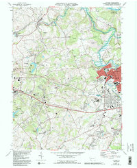
Historical Maps of White Through Time
9 maps found

1900 Latrobe
Westmoreland County, PA
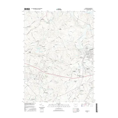
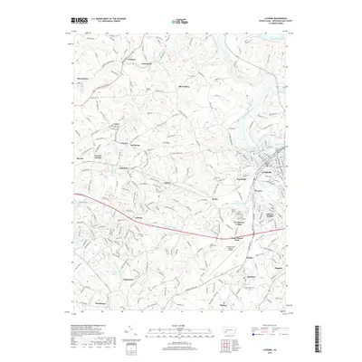
1902 Latrobe
Westmoreland County, PA
1903 Latrobe
Westmoreland County, PA
1964 Latrobe
Westmoreland County, PA
2010 Latrobe
Westmoreland County, PA
2013 Latrobe
Westmoreland County, PA
2016 Latrobe
Westmoreland County, PA
2019 Latrobe
Westmoreland County, PA
2023 Latrobe
Westmoreland County, PA