
1904 Map of Elders Ridge
USGS Topo · Published 1904About this map
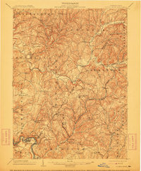
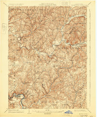
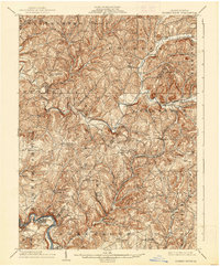
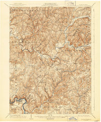
Elders Ridge and the surrounding townships of Armstrong, South Bend, and Young are captured here just after the turn of the century, illustrating a landscape defined by deeply incised creek valleys and rural crossroads. The Kiskiminitas River and Conemaugh River carve the southern boundary, where the Western Pennsylvania Division (P. R. R.) railroad services river towns like Avonmore and Salina. The interior is dotted with early 20th-century settlements and landmarks, including Cochran Mills on Crooked Creek and the notable Spring Church community. This survey provides a precise look at the drainage patterns of Blacklegs Creek and Plum Creek, revealing how early settlement followed these watercourses. Genealogists can locate specific centers of community life such as Brick Church, West Lebanon, and Nowrytown, many of which served as vital hubs before modern highway expansion.
Find a feature on this map
88 named features on this map. Tap any name to fly to it.
Don’t see what you’re looking for? This feature index may not catch every label — zoom into the map to look around manually.
Map Details
Editions of this 1904 Elders Ridge Map
5 editions found
Other maps of this area

1900 · Latrobe
USGS Topo · 1:62,500

1900 · Kittanning
USGS Topo · 1:62,500

1901 · Rural Valley
USGS Topo · 1:62,500

1902 · Kittanning
USGS Topo · 1:62,500

1902 · Latrobe
USGS Topo · 1:62,500

1902 · Indiana
USGS Topo · 1:62,500

1902 · Elders Ridge
USGS Topo · 1:62,500

1903 · Rural Valley
USGS Topo · 1:62,500

1903 · Latrobe
USGS Topo · 1:62,500

1904 · Greensburg
USGS Topo · 1:62,500