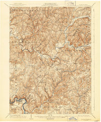
1904 Map of Elders Ridge
USGS Topo · Published 1943About this map
Crooked Creek meanders through the heart of this landscape, anchoring a network of early 20th-century rural settlements across the border of Armstrong and Indiana counties. The area is defined by a dense arrangement of small post offices and crossroads communities like Long Run P.O., Elderton, and Shelocta, reflecting a period when local identity was tied to small-scale industry and agrarian trade. The presence of Cochran Mills and Tannery indicates the processing of local timber and livestock, while the Kiskiminetas River and Conemaugh River at the southern edge provided vital corridors for transport and power.
Find a feature on this map
76 named features on this map. Tap any name to fly to it.
Don’t see what you’re looking for? This feature index may not catch every label — zoom into the map to look around manually.
Map Details
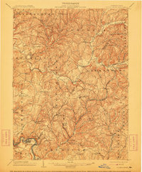
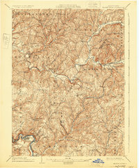
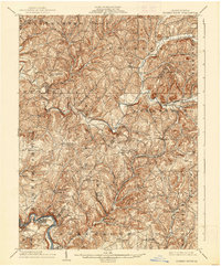
Editions of this 1904 Elders Ridge Map
5 editions found
Other maps of this area

1900 · Latrobe
USGS Topo · 1:62,500

1900 · Kittanning
USGS Topo · 1:62,500

1901 · Rural Valley
USGS Topo · 1:62,500

1902 · Kittanning
USGS Topo · 1:62,500

1902 · Latrobe
USGS Topo · 1:62,500

1902 · Indiana
USGS Topo · 1:62,500

1902 · Elders Ridge
USGS Topo · 1:62,500

1903 · Rural Valley
USGS Topo · 1:62,500

1903 · Latrobe
USGS Topo · 1:62,500

1904 · Elders Ridge
USGS Topo · 1:62,500