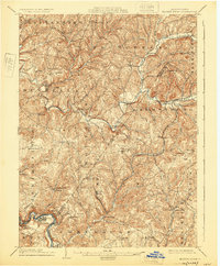
1904 Map of Elders Ridge
USGS Topo · Published 1925About this map
Crooked Creek and Plum Creek dominate the drainage of this dissected upland at the border of Armstrong and Indiana counties. The landscape is dotted with small rural crossroads and milling sites established before the turn of the century, such as Cochran Mills and South Bend. The map captures a moment when rural life centered on localized post offices and community landmarks, evidenced by Long Run P.O. and the prominent Brick Church.
Find a feature on this map
75 named features on this map. Tap any name to fly to it.
Don’t see what you’re looking for? This feature index may not catch every label — zoom into the map to look around manually.
Map Details
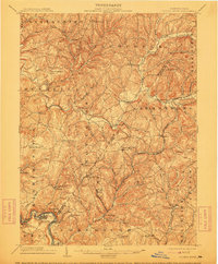
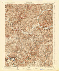
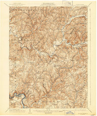
Editions of this 1904 Elders Ridge Map
5 editions found
Other maps of this area

1900 · Latrobe
USGS Topo · 1:62,500

1900 · Kittanning
USGS Topo · 1:62,500

1901 · Rural Valley
USGS Topo · 1:62,500

1902 · Kittanning
USGS Topo · 1:62,500

1902 · Latrobe
USGS Topo · 1:62,500

1902 · Indiana
USGS Topo · 1:62,500

1902 · Elders Ridge
USGS Topo · 1:62,500

1903 · Rural Valley
USGS Topo · 1:62,500

1903 · Latrobe
USGS Topo · 1:62,500

1904 · Elders Ridge
USGS Topo · 1:62,500