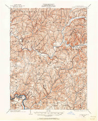
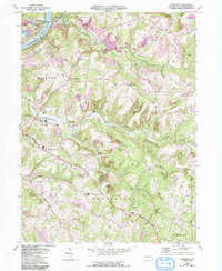
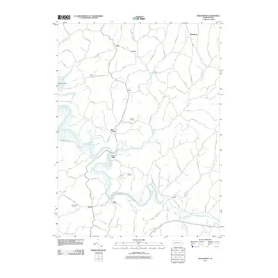
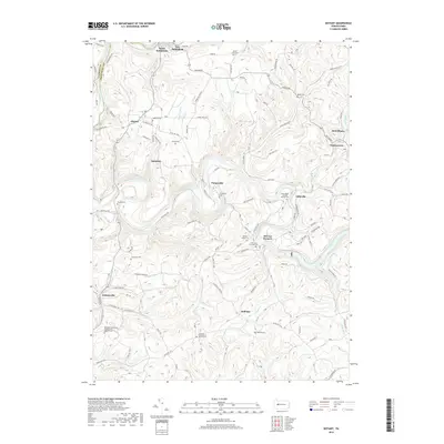
1902 Map of Elders Ridge
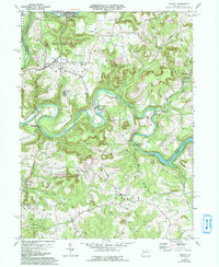
USGS Topo · Published 1962About this map
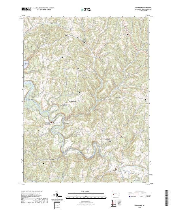
Crooked Creek and Plum Creek carve through the landscape of western Pennsylvania, defining the settlement patterns of the early twentieth century. The map reveals a high density of small villages and rural post offices, such as Long Run P. O., that once anchored these farming and mining communities. The intersection of local industry and social life is evident in the presence of Cochran Mills and several prominent religious landmarks, including Brick Church and Spring Church. In the southern portion of the sheet, the Kiskiminetas river valley supports larger population centers like Avonmore and Salina. This survey offers a detailed look at the complex network of creeks, runs, and hollows, such as Dark Hollow, which dictated the routes of early roads and the placement of hamlets like Elders Ridge and Iselin before modern highway development.
Find a feature on this map
92 named features on this map. Tap any name to fly to it.
Don’t see what you’re looking for? This feature index may not catch every label — zoom into the map to look around manually.
Map Details
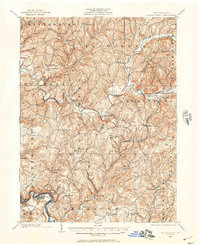
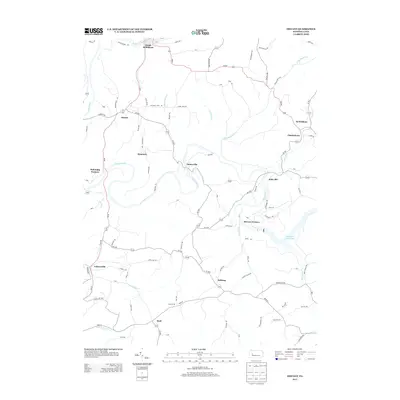
Editions of this 1902 Elders Ridge Map
2 editions found
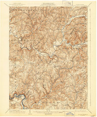
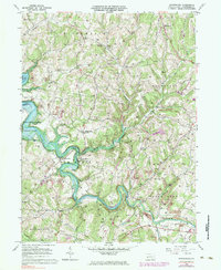
Historical Maps of Black Lick Township Through Time
20 maps found
1902 Elders Ridge
Armstrong County, PA
1904 Elders Ridge
Armstrong County, PA
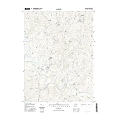
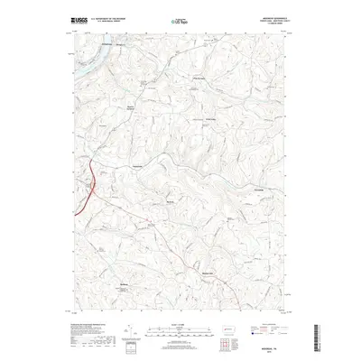
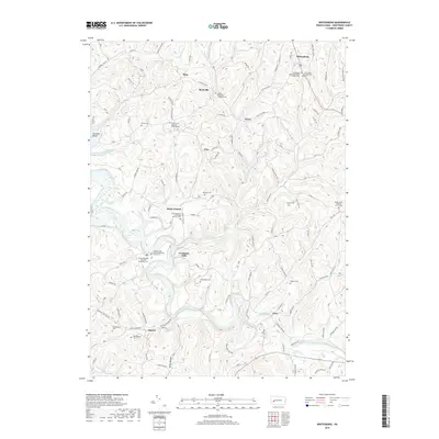
1964 Whitesburg
Armstrong County, PA
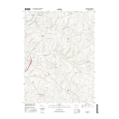
1968 Mosgrove
Armstrong County, PA
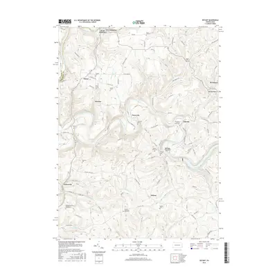
1969 Distant
Armstrong County, PA
2010 Distant
Armstrong County, PA
2010 Mosgrove
Armstrong County, PA
2010 Whitesburg
Armstrong County, PA
2013 Distant
Armstrong County, PA
2013 Mosgrove
Armstrong County, PA
2013 Whitesburg
Armstrong County, PA
2016 Distant
Armstrong County, PA
2016 Mosgrove
Armstrong County, PA
2016 Whitesburg
Armstrong County, PA
2019 Distant
Armstrong County, PA
2019 Mosgrove
Armstrong County, PA
2019 Whitesburg
Armstrong County, PA
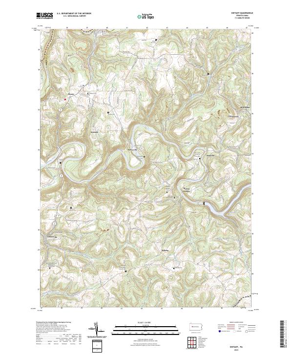
2023 Distant
Armstrong County, PA
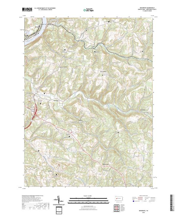
2023 Mosgrove
Armstrong County, PA
2023 Whitesburg
Armstrong County, PA