
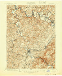
1903 Map of Latrobe
USGS Topo · Published 1905About this map
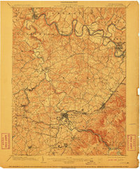
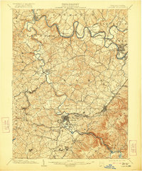
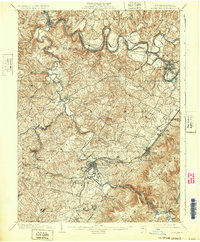
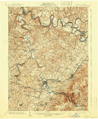
Loyalhanna Creek winds through the heart of Westmoreland County, cutting a dramatic path through Chestnut Ridge at the Loyalhanna Gap. At the turn of the century, this landscape was defined by the industrial surge of coal and iron, a fact underscored by the survey assistance of the H.C. Frick Coke Co. noted in the margin. Dense networks of tracks including the Pennsylvania R. R. and Western Pennsylvania R. R. connect established river towns like Saltsburg and Blairsville to the burgeoning center of Latrobe. Beyond the riverbanks, the map documents significant religious and educational landmarks such as St. Vincent and St. Xavier. Clusters of Coke Ovens near Hostetter and Whitney indicate the heavy industrialization of the era, while the Northern Turnpike traces older overland routes through New Alexandria.
Find a feature on this map
96 named features on this map. Tap any name to fly to it.
Don’t see what you’re looking for? This feature index may not catch every label — zoom into the map to look around manually.
Map Details
Editions of this 1903 Latrobe Map
6 editions found
Other maps of this area

1900 · Latrobe
USGS Topo · 1:62,500

1902 · Latrobe
USGS Topo · 1:62,500

1902 · Indiana
USGS Topo · 1:62,500

1902 · Connellsville
USGS Topo · 1:62,500

1902 · Elders Ridge
USGS Topo · 1:62,500

1904 · Elders Ridge
USGS Topo · 1:62,500

1904 · Greensburg
USGS Topo · 1:62,500

1906 · Greensburg
USGS Topo · 1:62,500

1907 · Freeport
USGS Topo · 1:62,500

1909 · Freeport
USGS Topo · 1:62,500