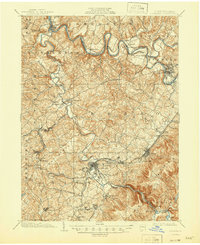
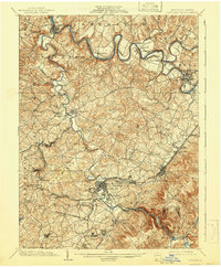
1903 Map of Latrobe
USGS Topo · Published 1946About this map
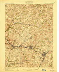
The industrial and agricultural heart of Westmoreland County unfolds along the meandering Conemaugh River and Loyalhanna Creek at the start of the twentieth century. This survey, conducted in cooperation with the State of Pennsylvania, highlights a landscape defined by its heavy reliance on rail transportation. The Pennsylvania R. R. Main Line and the Ligonier Valley R. R. converge at Latrobe, while the Pennsylvania R. R. River Line traces the northern water gaps.
Find a feature on this map
78 named features on this map. Tap any name to fly to it.
Don’t see what you’re looking for? This feature index may not catch every label — zoom into the map to look around manually.
Map Details
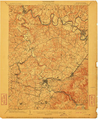
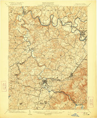
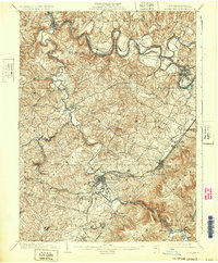
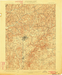
Editions of this 1903 Latrobe Map
6 editions found
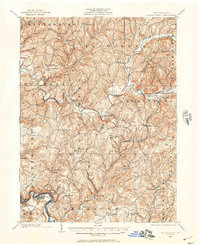
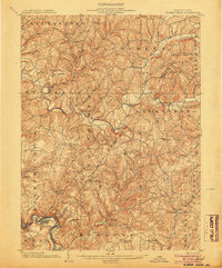
Other maps of this area

1900 · Latrobe
USGS Topo · 1:62,500

1902 · Latrobe
USGS Topo · 1:62,500
1902 · Indiana
USGS Topo · 1:62,500

1902 · Connellsville
USGS Topo · 1:62,500
1902 · Elders Ridge
USGS Topo · 1:62,500

1903 · Latrobe
USGS Topo · 1:62,500
1904 · Elders Ridge
USGS Topo · 1:62,500

1904 · Greensburg
USGS Topo · 1:62,500
1906 · Greensburg
USGS Topo · 1:62,500

1907 · Freeport
USGS Topo · 1:62,500