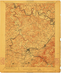
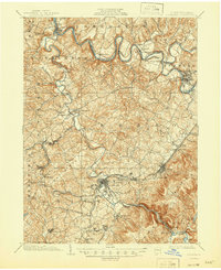
1903 Map of Latrobe
USGS Topo · Published 1911About this map
Industrial and educational hubs define this Westmoreland County landscape during the early 20th century. Latrobe stands as a central nexus, surrounded by smaller settlements like New Derry and Millwood, while the religious and academic presence of St Vincent and St Xavier is prominent to the south. The industrial character of the era is evidenced by the Coke Ovens near the center of the sheet, a detail likely captured in part due to the surveying cooperation of the H.C. Frick Coke Co. noted in the margin.
Find a feature on this map
98 named features on this map. Tap any name to fly to it.
Don’t see what you’re looking for? This feature index may not catch every label — zoom into the map to look around manually.
Map Details
Editions of this 1903 Latrobe Map
6 editions found
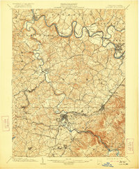
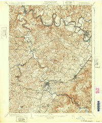
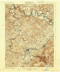
Other maps of this area

1900 · Latrobe
USGS Topo · 1:62,500

1902 · Latrobe
USGS Topo · 1:62,500

1902 · Indiana
USGS Topo · 1:62,500

1902 · Connellsville
USGS Topo · 1:62,500

1902 · Elders Ridge
USGS Topo · 1:62,500

1903 · Latrobe
USGS Topo · 1:62,500

1904 · Elders Ridge
USGS Topo · 1:62,500

1904 · Greensburg
USGS Topo · 1:62,500

1906 · Greensburg
USGS Topo · 1:62,500

1907 · Freeport
USGS Topo · 1:62,500