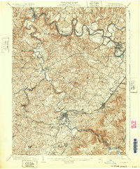
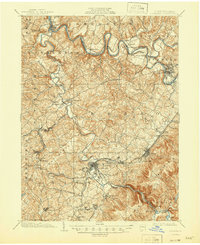
1903 Map of Latrobe
USGS Topo · Published 1932About this map
The Conemaugh River and Loyalhanna Creek define the rugged topography of this Westmoreland and Indiana County region at the turn of the century. The town of Latrobe sits as a central rail hub, where the Pennsylvania Railroad meets the Ligonier Valley Railroad. Significant industrial and early transit corridors are visible, including the Northern Turnpike and the Philadelphia and Pittsburgh Pike, which suggest the area's role in cross-state commerce. This survey, conducted in cooperation with the H.C. Frick Coke Co., underscores the era's focus on mineral extraction and transportation. Smaller settlements such as New Derry, Livermore, and Shieldsburg dot the landscape, while the presence of St. Xavier and the Latrobe Reservoir provide specific points of interest for genealogists and local historians tracking the development of these communities before modern industrial shifts.
Find a feature on this map
76 named features on this map. Tap any name to fly to it.
Don’t see what you’re looking for? This feature index may not catch every label — zoom into the map to look around manually.
Map Details
Editions of this 1903 Latrobe Map
6 editions found
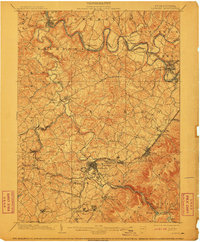
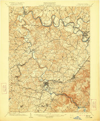
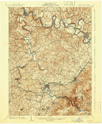
Other maps of this area

1900 · Latrobe
USGS Topo · 1:62,500

1902 · Latrobe
USGS Topo · 1:62,500

1902 · Indiana
USGS Topo · 1:62,500

1902 · Connellsville
USGS Topo · 1:62,500

1902 · Elders Ridge
USGS Topo · 1:62,500

1903 · Latrobe
USGS Topo · 1:62,500

1904 · Elders Ridge
USGS Topo · 1:62,500

1904 · Greensburg
USGS Topo · 1:62,500

1906 · Greensburg
USGS Topo · 1:62,500

1907 · Freeport
USGS Topo · 1:62,500