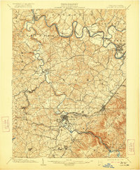
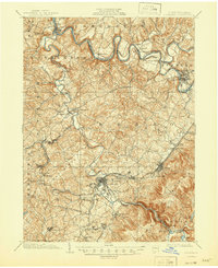
1903 Map of Latrobe
USGS Topo · Published 1921About this map
Latrobe sits at the heart of this early twentieth-century landscape, a bustling industrial junction where the Ligonier Valley R R meets the Main Line. The map reveals a region defined by the winding paths of Loyalhanna Creek and the Conemaugh River, which form the boundaries between the townships of Derry, Unity, and Burrell. The presence of numerous Coke Ovens near settlements like Crabtree and Luxor points to the intense coal and iron activity of the era, further supported by the involvement of the H.C. Frick Coke Co. noted in the margin.
Find a feature on this map
102 named features on this map. Tap any name to fly to it.
Don’t see what you’re looking for? This feature index may not catch every label — zoom into the map to look around manually.
Map Details
Editions of this 1903 Latrobe Map
6 editions found
Other maps of this area

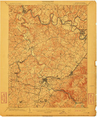
1900 · Latrobe
USGS Topo · 1:62,500

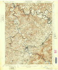
1902 · Latrobe
USGS Topo · 1:62,500

1902 · Indiana
USGS Topo · 1:62,500

1902 · Connellsville
USGS Topo · 1:62,500

1902 · Elders Ridge
USGS Topo · 1:62,500

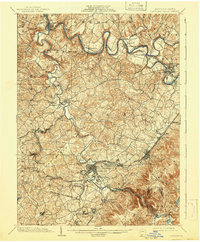
1903 · Latrobe
USGS Topo · 1:62,500

1904 · Elders Ridge
USGS Topo · 1:62,500

1904 · Greensburg
USGS Topo · 1:62,500

1906 · Greensburg
USGS Topo · 1:62,500

1907 · Freeport
USGS Topo · 1:62,500