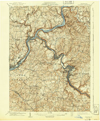
1907 Map of Freeport
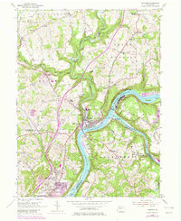
USGS Topo · Published 1956About this map
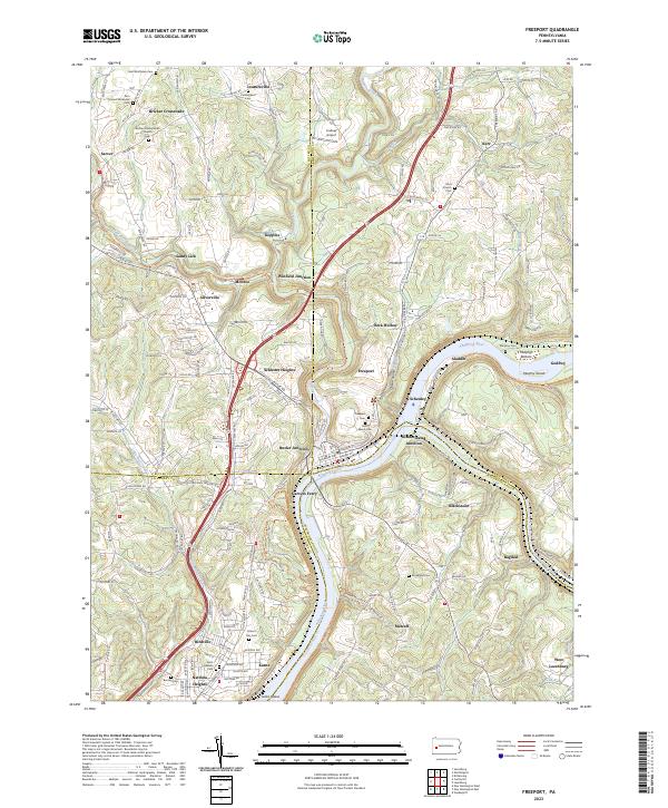
Freeport and the confluence of the Allegheny River and Kiskiminetas River anchor this early twentieth-century survey of western Pennsylvania’s industrial heartland. The landscape is defined by the tight bends of the rivers and the vital infrastructure of the Pennsylvania RR, which follows the water level to serve coal and industrial outposts. Small riverfront settlements like Schenley and White Rock Johnetta P.O. are perched along the banks, while the rugged interior is dotted with family-named locales such as Sarver and McVille. This era shows a transition from rural crossroads to industrial junctions, evidenced by sites like Winfield Junc and Kiskiminetas Junc Lucesco P.O.. The map provides a rare look at the original river crossings and vanished post offices like Glen Logansport P.O. before later suburban expansion and major highway development altered the topography of the tri-county area.
Find a feature on this map
104 named features on this map. Tap any name to fly to it.
Don’t see what you’re looking for? This feature index may not catch every label — zoom into the map to look around manually.
Map Details
Editions of this 1907 Freeport Map
This is the sole edition of this map. No revisions or reprints were ever made.
Historical Maps of Plum Through Time
6 maps found