
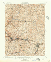
1904 Map of Greensburg
USGS Topo · Published 1963About this map
Greensburg and its surrounding coal-country townships define this early 20th-century landscape, as mapped just after the turn of the century. The industrial spine of the Pennsylvania Railroad anchors the region, connecting the burgeoning glass and steel manufacturing hubs of Jeannette, Irwin, and Manor. These rail corridors drove the rapid growth of Westmoreland County, linking rural agricultural areas to the heavy industry of the Pittsburgh basin.
Find a feature on this map
89 named features on this map. Tap any name to fly to it.
Don’t see what you’re looking for? This feature index may not catch every label — zoom into the map to look around manually.
Map Details
Editions of this 1904 Greensburg Map
This is the sole edition of this map. No revisions or reprints were ever made.
Historical Maps of Monroeville Through Time
9 maps found
1904 Greensburg
Westmoreland County, PA
1906 Greensburg
Westmoreland County, PA
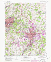
1954 Greensburg
Westmoreland County, PA
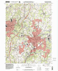
1993 Greensburg
Westmoreland County, PA
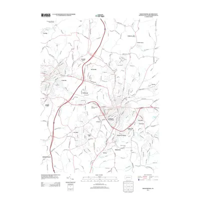
2010 Greensburg
Westmoreland County, PA
2013 Greensburg
Westmoreland County, PA
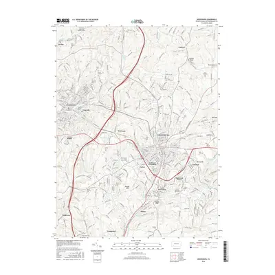
2016 Greensburg
Westmoreland County, PA
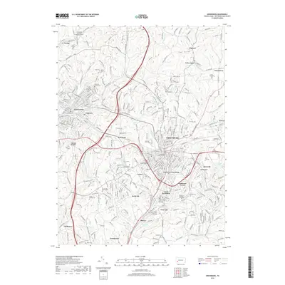
2019 Greensburg
Westmoreland County, PA
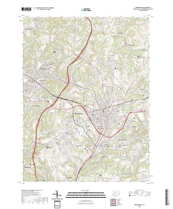
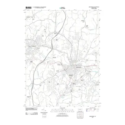
2023 Greensburg
Westmoreland County, PA