
1909 Map of Freeport
USGS Topo · Published 1909About this map
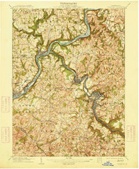
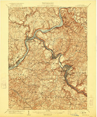
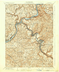
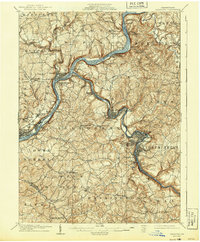
The Allegheny River and Kiskiminitas River carve deep valleys through this western Pennsylvania industrial corridor, where the confluence at Freeport and Schenley serves as a nexus for water and rail transport. At the dawn of the twentieth century, the landscape is defined by its reliance on the Pennsylvania R. R. and the Western Pennsylvania Line, which follow the riverbanks to serve thriving mill and mining towns. Large riverfront settlements like Leechburg, Tarentum, and Natrona are shown in high detail, revealing the dense street grids and proximity to the water that fueled their growth.
Find a feature on this map
96 named features on this map. Tap any name to fly to it.
Don’t see what you’re looking for? This feature index may not catch every label — zoom into the map to look around manually.
Map Details
Editions of this 1909 Freeport Map
5 editions found
Other maps of this area

1900 · Latrobe
USGS Topo · 1:62,500

1900 · Kittanning
USGS Topo · 1:62,500

1901 · Rural Valley
USGS Topo · 1:62,500

1902 · Kittanning
USGS Topo · 1:62,500

1902 · Latrobe
USGS Topo · 1:62,500

1902 · Elders Ridge
USGS Topo · 1:62,500

1903 · Rural Valley
USGS Topo · 1:62,500

1903 · Latrobe
USGS Topo · 1:62,500

1904 · Elders Ridge
USGS Topo · 1:62,500

1904 · Mc Keesport
USGS Topo · 1:62,500