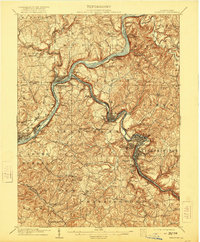
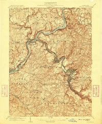
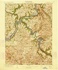
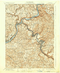
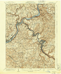
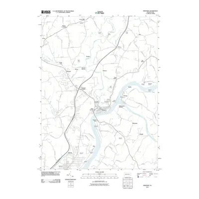
1909 Map of Freeport
USGS Topo · Published 1921About this map
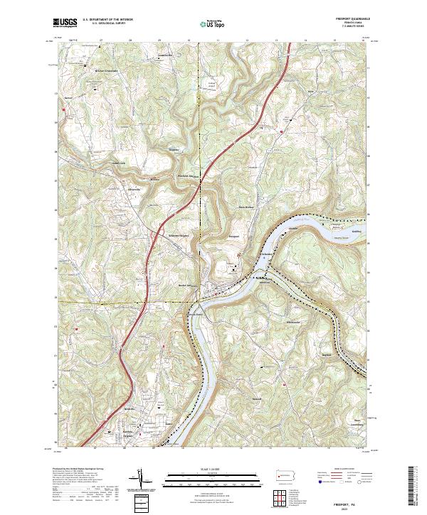
Industrial riverfront towns and expanding rail networks define this early twentieth-century survey of the Allegheny River valley. The town of Freeport sits at the critical junction where the Kiskiminitas River meets the Allegheny, flanked by the Pennsylvania RR and the Buffalo & Susquehanna RR. Downriver, the map captures the dense settlement pattern of the Allegheny's western bank, from the established centers of Tarentum and Natrona to the residential pockets of Brackenridge and Birdville.
Find a feature on this map
99 named features on this map. Tap any name to fly to it.
Don’t see what you’re looking for? This feature index may not catch every label — zoom into the map to look around manually.
Map Details
Editions of this 1909 Freeport Map
5 editions found
Historical Maps of Plum Through Time
10 maps found

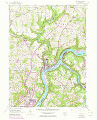
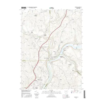
1907 Freeport
Armstrong County, PA
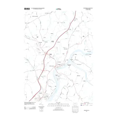
1909 Freeport
Armstrong County, PA
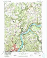
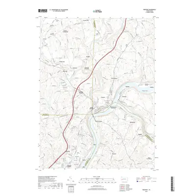
1953 Freeport
Armstrong County, PA
1993 Freeport
Armstrong County, PA
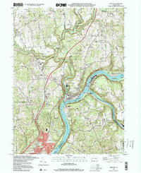
1998 Freeport
Armstrong County, PA
2010 Freeport
Armstrong County, PA
2013 Freeport
Armstrong County, PA
2016 Freeport
Armstrong County, PA
2019 Freeport
Armstrong County, PA
2023 Freeport
Armstrong County, PA