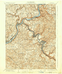
1909 Map of Freeport
USGS Topo · Published 1932About this map
The confluence of the Allegheny River and Kiskiminetas River serves as the industrial and logistical heart of this region at the start of the 1900s. Freeport and Schenley anchor a landscape defined by narrow river valleys and steep hillsides, where railroads and river crossings dictate the pattern of settlement. This era is characterized by the tight integration of post offices and rail junctions, visible in locations like Kiskiminetas Junc Lucesco PO and Gowers Ferry Ingleside PO. Small mining or industrial hamlets like White Rock Johnetta PO and Glencairn dot the riverbanks, while the surrounding uplands maintain a rural character with scattered settlements like Leasureville and Sandy Lick. The map captures the intricate rail network of the era, including Butler Junc, which facilitated the movement of goods and people through the complex terrain of Gosser Hill and along Buffalo Creek.
Find a feature on this map
85 named features on this map. Tap any name to fly to it.
Don’t see what you’re looking for? This feature index may not catch every label — zoom into the map to look around manually.
Map Details
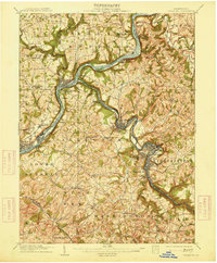
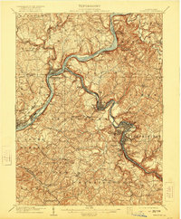
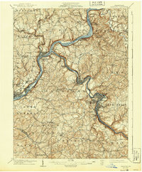
Editions of this 1909 Freeport Map
5 editions found

Other maps of this area

1900 · Latrobe
USGS Topo · 1:62,500

1900 · Kittanning
USGS Topo · 1:62,500

1901 · Rural Valley
USGS Topo · 1:62,500

1902 · Kittanning
USGS Topo · 1:62,500

1902 · Latrobe
USGS Topo · 1:62,500

1902 · Elders Ridge
USGS Topo · 1:62,500

1903 · Rural Valley
USGS Topo · 1:62,500

1903 · Latrobe
USGS Topo · 1:62,500

1904 · Elders Ridge
USGS Topo · 1:62,500

1904 · Mc Keesport
USGS Topo · 1:62,500