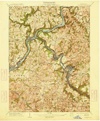
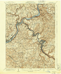
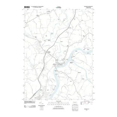
1909 Map of Freeport
USGS Topo · Published 1914About this map
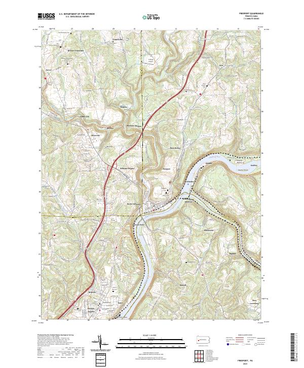
The confluence of the Allegheny River and the Kiskiminetas River anchors this early twentieth-century industrial landscape, where rail and river traffic converged at the borders of four Pennsylvania counties. Significant junction points like Butler Junc, Winfield Junc, and Kiskiminetas Junc Acesco PO reveal the region's intense reliance on the Pennsylvania RR for moving coal and industrial goods. The map captures a transition in local postal history, documenting several combined ferry and post office sites such as Gravers Ferry Ingleside PO and Center Valley Neale PO. Beyond the primary borough of Freeport, the landscape is dotted with smaller mining or industrial settlements including Schenley, White Rock Johnetta PO, and Birdville. Numerous tributary runs like Buffalo Cr and Nicholson Run cut through the high ground, illustrating the complex terrain that governed the placement of early settlements and transportation corridors.
Find a feature on this map
99 named features on this map. Tap any name to fly to it.
Don’t see what you’re looking for? This feature index may not catch every label — zoom into the map to look around manually.
Map Details
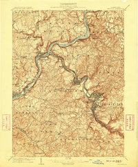
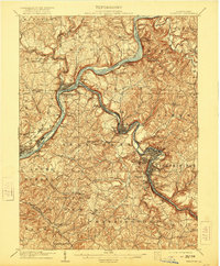
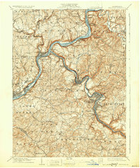
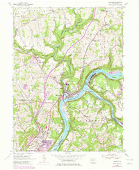
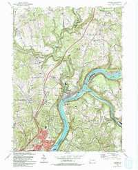
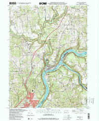
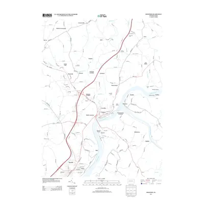
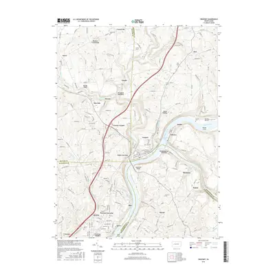
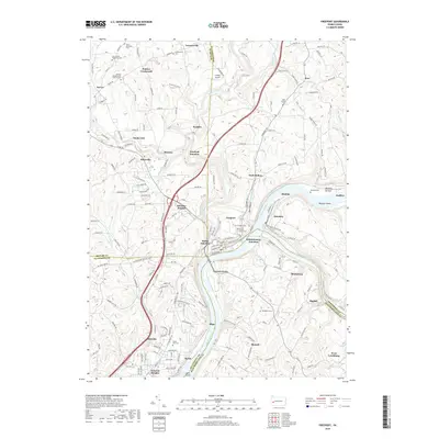
Editions of this 1909 Freeport Map
5 editions found
Historical Maps of Plum Through Time
10 maps found

1907 Freeport
Armstrong County, PA
1909 Freeport
Armstrong County, PA
1953 Freeport
Armstrong County, PA
1993 Freeport
Armstrong County, PA
1998 Freeport
Armstrong County, PA
2010 Freeport
Armstrong County, PA
2013 Freeport
Armstrong County, PA
2016 Freeport
Armstrong County, PA
2019 Freeport
Armstrong County, PA
2023 Freeport
Armstrong County, PA