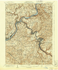
1909 Map of Freeport
USGS Topo · Published 1944About this map
The confluence of the Allegheny River and Kiskiminetas River anchor this industrial landscape during a period of heavy extractive industry and rail development. Surveyed just after the turn of the century, the map reveals a network of river-bound settlements and post offices that supported the local coal and manufacturing economy, including the Kiskiminetas Mine and the rail hub at Freeport. Smaller stations and post offices like White Rock Johnetta PO and Grawers Ferry Ingleside PO line the riverbanks, illustrating the dense occupation of the valley floors before modern highway expansion. The presence of numerous river-adjacent landings such as Schenley and Kelly Station highlights the era’s reliance on combined rail and water transport for moving goods through Armstrong and Westmoreland counties. Many of these locations served as vital social and commercial centers for mining and factory laborers in the early 1900s.
Find a feature on this map
95 named features on this map. Tap any name to fly to it.
Don’t see what you’re looking for? This feature index may not catch every label — zoom into the map to look around manually.
Map Details
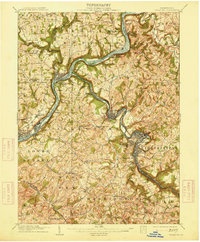
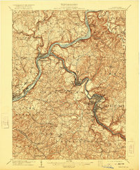
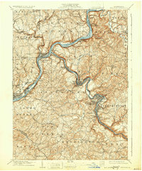
Editions of this 1909 Freeport Map
5 editions found

Other maps of this area

1900 · Latrobe
USGS Topo · 1:62,500

1900 · Kittanning
USGS Topo · 1:62,500

1901 · Rural Valley
USGS Topo · 1:62,500

1902 · Kittanning
USGS Topo · 1:62,500

1902 · Latrobe
USGS Topo · 1:62,500

1902 · Elders Ridge
USGS Topo · 1:62,500

1903 · Rural Valley
USGS Topo · 1:62,500

1903 · Latrobe
USGS Topo · 1:62,500

1904 · Elders Ridge
USGS Topo · 1:62,500

1904 · Mc Keesport
USGS Topo · 1:62,500