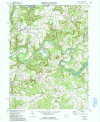
1969 Map of Distant
USGS Topo · Published 1993About this map
Redbank Creek and Mahoning Creek Lake define the jagged topography of this Western Pennsylvania landscape, where extractive industry and rural settlement meet. The map reveals a region heavily shaped by coal production, featuring numerous Strip Mines, Reclaimed Strip Mines, and a Quarry. These industrial sites are interspersed among a network of small communities such as Distant, Seminole, and Putneyville.
Find a feature on this map
46 named features on this map. Tap any name to fly to it.
Don’t see what you’re looking for? This feature index may not catch every label — zoom into the map to look around manually.
Map Details
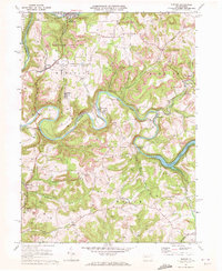
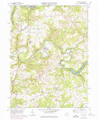
Editions of this 1969 Distant Map
3 editions found
Other maps of this area

1901 · Rural Valley
USGS Topo · 1:62,500

1903 · Rural Valley
USGS Topo · 1:62,500

1906 · Clarion
USGS Topo · 1:62,500

1907 · Clarion
USGS Topo · 1:62,500

1909 · Smicksburg
USGS Topo · 1:62,500

1924 · Brookville
USGS Topo · 1:62,500

1926 · Brookville
USGS Topo · 1:62,500

1938 · Smicksburg
USGS Topo · 1:62,500

1939 · Smicksburg
USGS Topo · 1:62,500

1944 · Brookville
USGS Topo · 1:62,500