
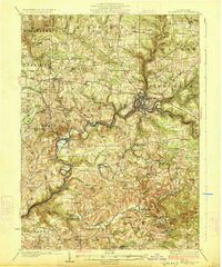
1926 Map of Brookville
USGS Topo · Published 1926About this map
Brookville sits at the convergence of North Fork and Sandy Lick Creek in this mid-1920s survey of Jefferson County. The industrial and transit character of the region is defined by a dense network of competing rail lines, including the Pennsylvania RR and the Lake Erie Franklin and Clarion RR, which navigate the steep drainage basins of Redbank Creek. This era of Pennsylvania development is marked by a high density of rural infrastructure, with nearly every drainage and ridge-top supporting a localized schoolhouse like Hazel Dell School or Beech Hollow School. Small mining and milling settlements such as Conifer, Summerville, and the landmark Sprankle Mills punctuate the landscape, reflecting an economy deeply tied to coal extraction and timber processing before the widespread consolidation of the mid-20th century.
Find a feature on this map
114 named features on this map. Tap any name to fly to it.
Don’t see what you’re looking for? This feature index may not catch every label — zoom into the map to look around manually.
Map Details
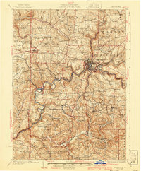
Editions of this 1926 Brookville Map
3 editions found
Other maps of this area

1901 · Rural Valley
USGS Topo · 1:62,500

1903 · Rural Valley
USGS Topo · 1:62,500

1906 · Clarion
USGS Topo · 1:62,500

1906 · Punxsutawney
USGS Topo · 1:62,500

1907 · Clarion
USGS Topo · 1:62,500

1909 · Smicksburg
USGS Topo · 1:62,500

1918 · Loleta
USGS Topo · 1:62,500

1922 · Tionesta
USGS Topo · 1:62,500

1922 · Du Bois
USGS Topo · 1:62,500

1924 · Du Bois
USGS Topo · 1:62,500