
1906 Map of Punxsutawney
USGS Topo · Published 1906About this map
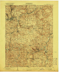
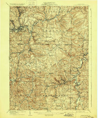
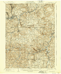
Punxsutawney serves as the focal point for this early twentieth-century survey of the Pennsylvania coal and timber country, where the intersection of major rail lines and winding waterways defined the regional economy. The landscape is marked by numerous small company towns and post offices like Adrian, Walston, and Rossiter, many situated along the branches of the Mahoning Creek. These settlements were deeply integrated into the transportation network provided by the Pennsylvania RR and the Buffalo Rochester and Pittsburg RR, which carved through the dissected plateau to move raw materials.
Find a feature on this map
103 named features on this map. Tap any name to fly to it.
Don’t see what you’re looking for? This feature index may not catch every label — zoom into the map to look around manually.
Map Details
Editions of this 1906 Punxsutawney Map
4 editions found
Other maps of this area

1902 · Indiana
USGS Topo · 1:62,500

1902 · Patton
USGS Topo · 1:62,500

1902 · Barnesboro
USGS Topo · 1:62,500

1903 · Curwensville
USGS Topo · 1:62,500

1904 · Barnesboro
USGS Topo · 1:62,500

1904 · Patton
USGS Topo · 1:62,500

1909 · Smicksburg
USGS Topo · 1:62,500

1922 · Du Bois
USGS Topo · 1:62,500

1924 · Du Bois
USGS Topo · 1:62,500

1924 · Brookville
USGS Topo · 1:62,500