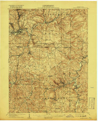
1906 Map of Punxsutawney
USGS Topo · Published 1918About this map
Punxsutawney sits at the heart of this early twentieth-century industrial landscape, where the Mahoning Creek and a dense network of railroads facilitated the growth of coal and timber operations. The map documents the intricate rail infrastructure of the era, including the Pittsburg and Western RR and the Buffalo and Susquehanna RR, which connected small mining and mill towns like Walston, Adrian Delancey PO, and Lindsey.
Find a feature on this map
110 named features on this map. Tap any name to fly to it.
Don’t see what you’re looking for? This feature index may not catch every label — zoom into the map to look around manually.
Map Details
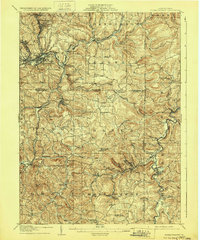
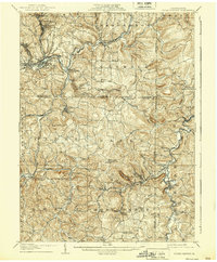
Editions of this 1906 Punxsutawney Map
4 editions found
Other maps of this area

1902 · Indiana
USGS Topo · 1:62,500

1902 · Patton
USGS Topo · 1:62,500

1902 · Barnesboro
USGS Topo · 1:62,500

1903 · Curwensville
USGS Topo · 1:62,500

1904 · Barnesboro
USGS Topo · 1:62,500

1904 · Patton
USGS Topo · 1:62,500

1906 · Punxsutawney
USGS Topo · 1:62,500

1909 · Smicksburg
USGS Topo · 1:62,500

1922 · Du Bois
USGS Topo · 1:62,500

1924 · Du Bois
USGS Topo · 1:62,500